
Surface area 329 acres (133 ha) Area 133 ha Catchment area 56.66 km² | Primary inflows Average depth 5 ft (1.5 m) Mean depth 1.52 m Catchment area 56.66 km² Inflow source Musconetcong River | |
 | ||
Kayak nj lake musconetcong 050115
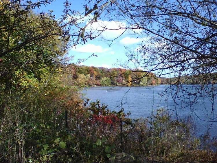
Lake Musconetcong is located on the border of Morris County and Sussex County, New Jersey, and is part of Hopatcong State Park, which is administered by the New Jersey Department of Environmental Protection. The Musconetcong River flows through the lake.
Contents
Map of Lake Musconetcong, New Jersey, USA
Lake Musconetcong was created in the mid-19th century to provide an additional water source for the Morris Canal. The lake was deeded over to the State of New Jersey with the other parts of the Morris Canal System in 1924. Boating, fishing and ice fishing are popular recreational activities on this lake.
The lake covers 329 acres (1.3 km²), with a mean depth of approximately 5 feet (1.5 m) and a maximum depth of 10 feet (3.0 m). The lake's watershed covers 14,000 acres (57 km²). Lake Musconetcong is downstream of Lake Hopatcong, the largest lake in New Jersey and is part of its watershed.
The Lake Musconetcong Regional Planning Board has five representatives from each of the five local municipalities, Morris and Sussex counties, and from the State of New Jersey.