
Surface elevation 299 m | ||
 | ||
Location | ||
Lake Lavine is a small lake, 87 acres (350,000 m2), in south central Michigan. Located in Kinderhook Township, Branch County, Michigan approximately 3 miles (4.8 km) from Kinderhook, Lake Lavine is situated approximately 0.5 miles (0.80 km) north of the Indiana state line: 3 miles (4.8 km) directly north of the Lake James chain of lakes located in Indiana.
Map of Lake Lavine, Kinderhook Township, MI 49036, USA
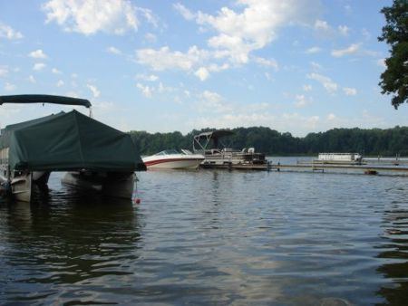
Lake Lavine is a deep lake (84 feet maximum) with steep drop-offs. Speed boats are allowed during the hours of 10:00 am until 6:30 pm. On the southeastern shore there is a state-operated public fishing site with a paved boat ramp. The terrain surrounding Lake Lavine is gently rolling woodlands, farm fields, and vineyards. Approximately half of the shoreline is developed, with about 60 summer and permanent homes on the lake. The remaining shoreline is wetlands and undeveloped woodland. The lake is primarily groundwater seepage fed, without any significant inlet and no outlet. Lake Lavine is within the headwaters of the Prairie River watershed. The Prairie River (Michigan) flows westerly, joining the St. Joseph River just south of the community of Three Rivers.
Known for its exceptional fishing, Lake Lavine holds significant numbers of perch, bass, bluegill and stocked rainbow trout.