
Primary outflows Songacha River Max. width 45 km (28 mi) Average depth 4.5 m (15 ft) Surface elevation 69 m Mean depth 4.5 m | Max. length 90 km (56 mi) Surface area 4,070 km (1,570 sq mi) Area 4,190 km² Width 45 km Outflow location Songacha River | |
 | ||
Similar Zhenbao Island, Bolshoy Ussuriysky Island, Lake Onega, Lake Teletskoye, Peipus | ||
the lake khanka
Lake Khanka (Russian: о́зеро Ха́нка) or Lake Xingkai (simplified Chinese: 兴凯湖; traditional Chinese: 興凱湖; pinyin: Xīngkǎi Hú), is a freshwater lake located on the border between Primorsky Krai, Russia and Heilongjiang province, Northeast China (at 45°0′N 132°25′E).
Contents
- the lake khanka
- Map of Lake Khanka
- lake khanka rest 14 07 2013
- Ethymolgy
- History of Lake Studies
- Physico geographical characteristics
- Biodiversity and environment
- References
Map of Lake Khanka
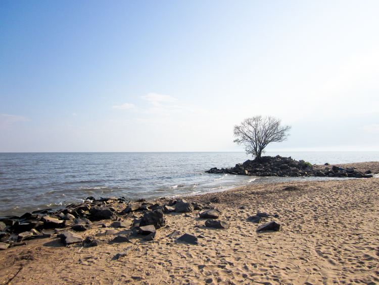
lake khanka rest 14 07 2013
Ethymolgy
On the Delil map of 1706, the lake is named Himgon and from it flows a river with two signatures - Usurou and Ousuri.
On the map of IM Khasii (German Johannes Matthiæ Hasii, (1684-1742) 1739, the river flowing from Lake Hinka is called Ousoury and Schur.
On the map of de'Anville, in 1752, the lake also has the name Hink, but from the lake the Songhachan River flows into Usuri.
On the map of the XVIII century "Irkutsk governorate with the adjacent islands and the western coast of America" from Lake Hinka follows the river Usuri.
On the map of 1860, attached to the Convention of Peking, two lakes are shown: the large "Oz. Khankai "with the second signature" Quiet ", but without the Manchu signatures, and a small lake" Oz. Dobiku "with the Manchurian signature. From the big lake flows a river, which has two signatures in Russian: "Uzhu" and "Sungachan", the second name has a signature in the Manchu language.
On the map of M. Popov in 1861, a large lake is called "Kengka" and the small one is called "Ai'-Kengka" and Siauhu is added in brackets, which can be understood as the transcription of the Chinese Xiaohu, that is, the Small Lake.
On the map of 1864 the captain of the case of the forest wardens of Budischeva the lake was named "Khinkai (Sinkai)".
On the ethnographic map of LI Shrenk are the signatures of the names "Oz. Khanka "and" Oz. Mal. Khanka. "
The explorer, traveler and naturalist and writer Vladimir Arsenyev (1872-1930) wrote about the name of the lake: "In the Liao Dynasty, Khanka Lake was called Beitsin-hai, and now Khanka, Khinkai and Sinkai-hu, which means" Lake of Prosperity and Prosperity. " It must be assumed that the name of Lake Khanka originated from another word, namely from the word "khanhai", which means "hollow". By this name, the Chinese call every low place. " ... Subsequently, the Russians remade this word in Khanka. "
History of Lake Studies
Lake Khanka is an ancient lake, always rich in fish and poultry. One of the old names of it - "Khankai-Omo" - "Sea of bird feathers". Khankai fish was supplied in the Middle Ages on the tables of Chinese and Jurchen emperors.
In 1868 NM Przheval'skii visited here, leaving for posterity the descriptions of the animal and plant world of these places.
In 1902, VK Arsen'ev made his first expedition to Khanka.
Physico-geographical characteristics
Lake Khanka, the largest lake in Primorsky Krai, is located in the center of the Khankan lowland on the border with the People's Republic of China in Heilongjiang Province. The northern part of the lake belongs to the territory of China. The shape of the lake is pear-shaped with an extension in its northern part. The surface area of the water is unstable, it varies depending on climatic conditions. In the maximum reaches 5010 km ², at a minimum - 3940 km ². The length of the lake is about 90 km, the maximum width is 67 km. There are 24 rivers flowing into Lake Khanka, only one flowing - Songacha River, which connects it with Ussuri, and that in turn with Amur River System. Lake Khanka is a shallow water body with an average depth of 4.5 metres (15 ft) and a prevailing depth of 1-3 m, the greatest depth is 10.6 m (35 ft). Its average volume is 18.3 cubic kilometres (4.4 cu mi), though it can fill up to 22.6 km3 (5.4 cu mi)The water in the lake is cloudy, which is explained by frequent winds and, as a result, strong mixing. On average, the flow to the lake is 1.94 km³ per year, from the lake about 1.85 km³.
On the northern (Chinese) shore there is the Malaya Khanka lake, separated from Khanka by a narrow sandy scythe. Lake Malaya Khanka belongs to China.
It freezes in the second half of November, is opened in April.
The animal and plant world of Lake Khanka is diverse. In 1971, according to the Ramsar Convention, this territory was given the status of wetlands of international importance. And in 1990 in the basin of Lake Khanka the state Khanka Nature Reserve was organized. In April 1996, an agreement was signed between the Governments of the Russian Federation and the People's Republic of China on the establishment of an international Russian-Chinese reserve "Lake Khanka" on the basis of the Khankai Reserve in Russia and the Chinese Sinkai-Hu Reserve.
The wetlands of the Lake Khanka basin represent a unique natural complex. The lowland of the Prihanka and, in fact, the shores of the lake represent a fairly swampy terrain. Characteristic for Khanka so-called melt - plant communities, formed by various species of sedge and grass. They form a solid turf covering a water mirror for many tens of square kilometers. Here are represented meadows (from marshy to steppe), meadow forest, forest-steppe and steppe plant communities. In the lake itself there are many species of fish and aquatic invertebrates, many of which are endemic. In the lake there live 52 species of fish, among them such as carp, perch, silver carp, catfish, snakehead. On the banks of the nest and stop during the flight of a variety of birds. The lake's drainage basin covers an area of 16,890 square kilometres (6,520 sq mi), of which 97% is in Russian territory. It has 4,000 to 4,400 km2 (1,500 to 1,700 sq mi) of water surface area. It is fed by 23 rivers (8 in China and 15 in Russia), but the only outflow of the lake is the Songacha River.
The maximum monthly mean temperature is 20 °C (68 °F) in July, while the minimum monthly mean temperature is −21 °C (−6 °F) in January. Rainfall mainly occurs in summer, with average annual precipitation of 500-650 mm annually.
The residence time of Lake Khanka is 9.9 years.
Biodiversity and environment
The lake is an important area for birds, and includes a number of endangered species.
See Khanka Nature Reserve