
Primary outflows Nippashi River Surface area 103.3 km (39.9 sq mi) Area 103.3 km² Volume 5.4 km³ | Type tectonic lake Average depth 51.5 m (169 ft) Surface elevation 514 m Shore length 49 km | |
 | ||
Similar Mount Bandai, Lake Hibara, Goshiki‑numa, Inawashiro Station, Aizuwakamatsu Castle | ||
Hanalei moon in lake inawashiro ch original mv
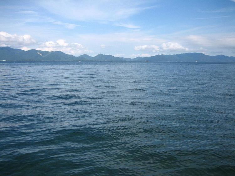
Lake Inawashiro (猪苗代湖, Inawashiro-ko) is the fourth-largest lake in Japan, located in central Fukushima Prefecture, south of Mount Bandai. It is also known as the 'Heavenly Mirror Lake' (天鏡湖, Tenkyōko). The lake is located within the borders of Bandai-Asahi National Park. In winter swans migrate to the beaches of the lake and stay there until spring.
Contents
- Hanalei moon in lake inawashiro ch original mv
- Map of Lake Inawashiro Fukushima Prefecture Japan
- Lake inawashiro fukushima one minute japan travel guide
- References
Map of Lake Inawashiro, Fukushima Prefecture, Japan
Lake Inawashiro was formed some 30-40,000 years ago when a tectonic depression was dammed by a major eruption and pyroclastic flow from Mount Bandai. The water is acidic with a pH value of approximately 5.0, and has a high degree of transparency. The water level was considerably less during the Jomon period as numerous artifacts and ceramic fragments have been found offshore. The lake water is an important source for irrigation in the Aizu region of western Fukushima Prefecture. An irrigation canal was completed during the Edo period and another in 1882. A third canal completed in 1915 supplies the city of Kōriyama with drinking and industrial water. The water also supplies a number of hydroelectric power plants. The lake is also an important tourist and leisure attraction in Fukushima Prefecture.