Max. depth 45 ft (14 m) Surface elevation 13 m Cities Houston | Basin countries United States Area 47.97 km² Catchment area 4.6 km² Inflow source San Jacinto River | |
 | ||
Primary inflows Surface area 11,854 acres (4,797 ha) Similar Houston Museum District, The Galleria, Sheldon Lake, Buffalo Bayou, Houston Ship Channel | ||
Extreme lake houston crappie fishing
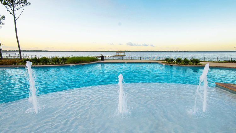
Lake Houston is a reservoir on the San Jacinto River, 15 miles (24 km) northeast of downtown Houston, Texas, United States. The reservoir is the primary municipal water supply for the city of Houston.
Contents
- Extreme lake houston crappie fishing
- Map of Lake Houston Houston TX USA
- Location and creationEdit
- Fish and plant populationsEdit
- Recreational usesEdit
- References
Map of Lake Houston, Houston, TX, USA
Location and creationEdit
Situated between the communities of Kingwood, Atascocita and Humble on the west bank, Sheldon on the south, and Crosby and Huffman on the east. An earthen dam spans a portion of the southern bank along Dwight D. Eisenhower Park.
The reservoir was created in 1953 when the City of Houston built the dam to impound a reservoir to replace Sheldon Lake, then the primary source of water for the city. The city sold Sheldon Lake to the Texas Parks and Wildlife Department for use as a waterfowl sanctuary and public fishing site.
The City of Houston annexed the Lake Houston area and a 22.5 miles (36.2 km) canal in 1956.
Fish and plant populationsEdit
Lake Houston has been stocked with species of fish intended to improve the utility of the reservoir for recreational fishing. Fish present in Lake Houston include catfish, largemouth bass, white crappie, and bluegill.
Recreational usesEdit
Boating and fishing are both popular recreational uses of the lake. At the northern end of the lake, Lake Houston Park also has facilities for camping and hiking.
