Primary inflows Max. length 13 km (8.1 mi) Mean depth 8 m Width 5 km Catchment area 23,500 km² | Type Eutrophic Area 55 km² Length 13 km Catchment area 23,500 km² | |
 | ||
Primary outflows Outlet Creek (when full); evaporation | ||
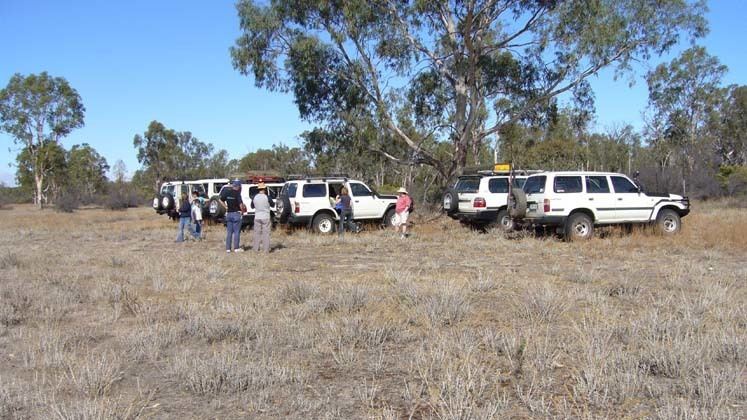
Sand riding at lake albacutya rainbow victoria glenn macdonald jason tanner
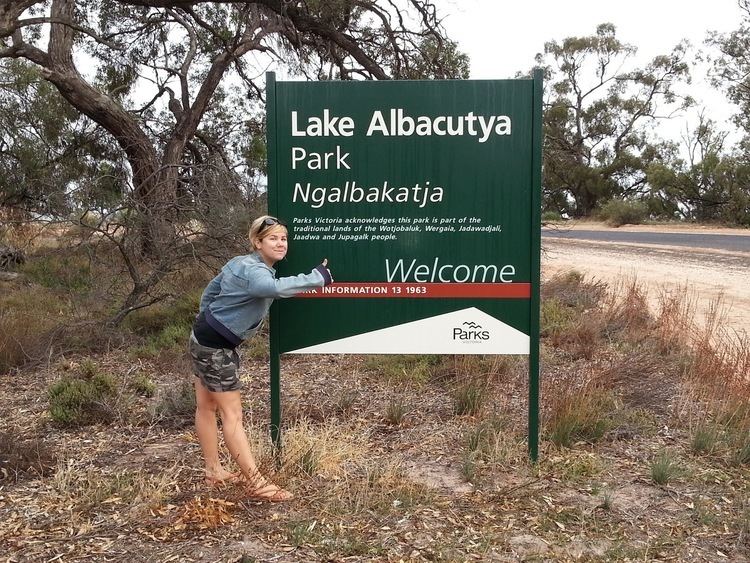
Lake Albacutya is a eutrophic lake located in the Wimmera region of Victoria, Australia. It is one of a series of terminal lakes on the Wimmera River, which form the largest land-locked drainage system in Victoria. Lake Albacutya is designated as a wetland of international importance under the Ramsar Convention.
Contents
- Sand riding at lake albacutya rainbow victoria glenn macdonald jason tanner
- Sand riding at lake albacutya rainbow victoria jason tanner part 1
- Location and features
- References
Sand riding at lake albacutya rainbow victoria jason tanner part 1
Location and features
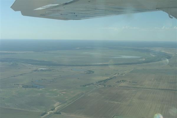
On the occasions that there is an overflow from Lake Hindmarsh to the south, water enters Outlet Creek which then feeds Lake Albacutya. When full, Lake Albacutya covers 5,500 ha (14,000 acres), is 8 m (26 ft) deep, and holds around 230 gigalitres (8.1×10⁹ cubic feet) of water.
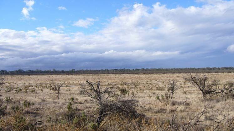
The lake generally fills and empties on a 20-year cycle, the longest dry period on record being 27 years. In 2011 it was reported that the lake had not received any inflow for some years and remained dry throughout the wetter years of 2011-2012.
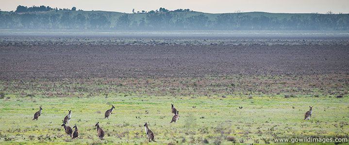
Being less saline than Lake Hindmarsh, Lake Albacutya supports a denser cover of vegetation during its dry phase.