
Max. depth 7 m (23 ft) Area 350 km² | Surface area 350 km (140 sq mi) Surface elevation 954 m | |
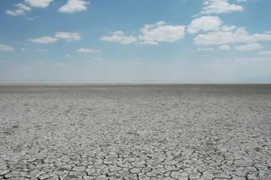 | ||
Lake Akşehir (Turkish: Akşehir Gölü) is a tectonic freshwater endorheic lake in Afyonkarahisar and Konya provinces, southwestern part of Turkey. It carries the same name as the town Akşehir south of the lake.
Contents
Map of Lake Ak%C5%9Fehir, Turkey
The lake is fed by Eber Channel, five larger streams from the Sultan Mountains and many smaller streams. The lake salinity increases towards the middle and northern parts due to underground spring waters. The lake is used for irrigation.
Important Bird Area
The lake, which is in unprotected status, was declared by BirdLife International as an Important Bird Area in 1989 for its waterfowl species, which are threatened globally as well as at site by hunting, reed cutting in breeding season and pollution.
References
Lake Akşehir Wikipedia(Text) CC BY-SA