
County Yuma Elevation 1,038 m | Time zone MST (UTC-7) GNIS feature ID 0183040 Local time Saturday 1:31 AM | |
 | ||
Weather -2°C, Wind SE at 13 km/h, 70% Humidity | ||
Laird is a census-designated place in Yuma County, Colorado, United States. The population as of the 2010 Census was 47. The U.S. Post Office at Wray (ZIP Code 80758) now serves Laird postal addresses.
Contents
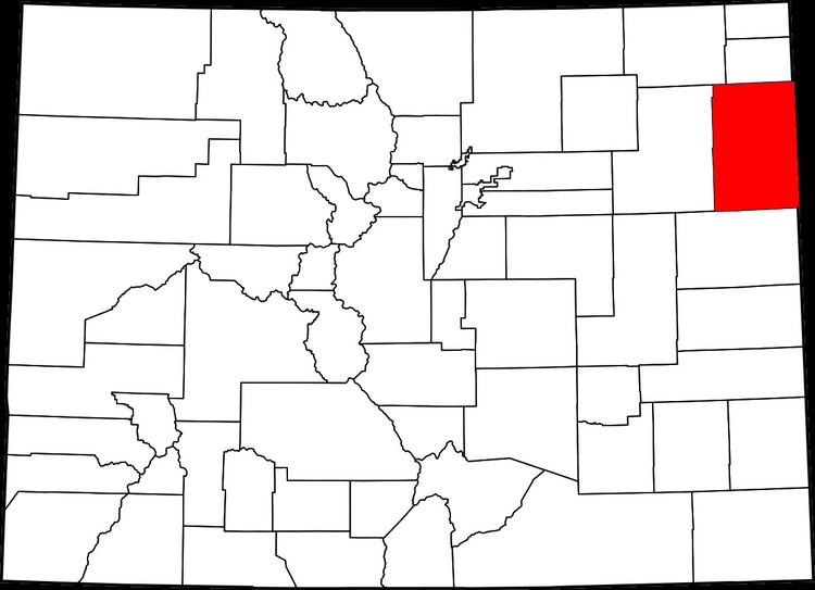
Map of Laird, CO 80758, USA
A post office called Laird has been in operation since 1887. The community has the name of James Laird, a Nebraska legislator.
Geography
Laird is located at 40°04′58″N 102°06′21″W (40.082800,-102.105732).
References
Laird, Colorado Wikipedia(Text) CC BY-SA