Country United States GNIS feature ID 495908 Local time Saturday 3:27 AM | Time zone Eastern (EST) (UTC-5) Elevation 225 m Area code 859 | |
 | ||
Weather -2°C, Wind N at 16 km/h, 43% Humidity | ||
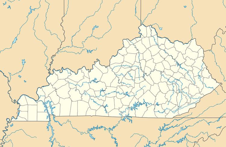
Lair is an unincorporated community in Harrison County, Kentucky, United States. Lair is located on U.S. Route 27, 3.4 miles (5.5 km) south of Cynthiana.
Contents
Map of Lair, KY 41031, USA
History
A post office was established as Lair's Station in 1860, was renamed Lair in 1882, and remained in operation until it was discontinued in 1920. In the 1870s, the community contained a store, two gristmills, and two distilleries.
References
Lair, Kentucky Wikipedia(Text) CC BY-SA
