Population >261 (2011 census) Mean max temp Mean min temp Postal code 3393 | Postcode(s) 3393 Elevation 147 m | |
 | ||
Location 353 km (219 mi) NW of Melbourne72 km (45 mi) N of Horsham16 km (10 mi) N of Warracknabeal | ||
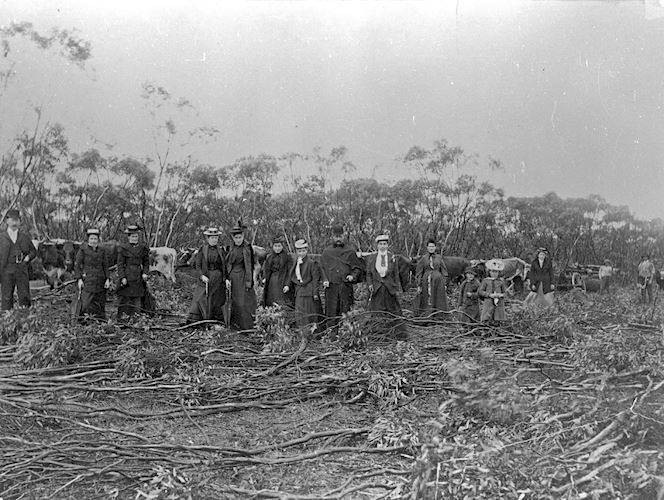
Lah (/ˈlɑː/ LAH) is a town in the Wimmera, Victoria, situated between Warracknabeal and Brim on the Henty Highway.
References
Lah, Victoria Wikipedia(Text) CC BY-SA
