
Country Philippines District 4th district Time zone PST (UTC+8) Area 377.9 km² Province Camarines Sur | Region Bicol (Region V) Barangays ZIP code 4425 Local time Saturday 1:47 PM | |
 | ||
Weather 26°C, Wind N at 14 km/h, 91% Humidity Neighborhoods Panagan, Balaton, Mapid, San Sebastian | ||
Gabao falls brgy cabotonan lagonoy camarines sur
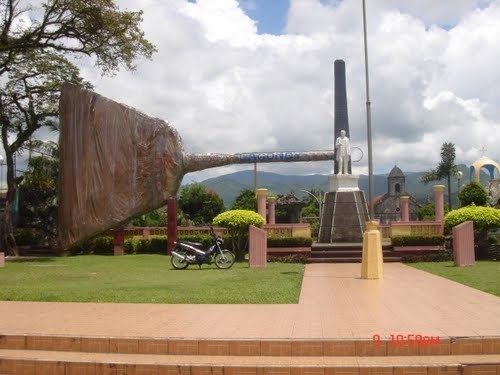
Lagonoy is a municipality in the province of Camarines Sur, Philippines. According to the 2015 census, it has a population of 55,465 people.
Contents
- Gabao falls brgy cabotonan lagonoy camarines sur
- Map of Lagonoy Camarines Sur Philippines
- History
- Barangays
- Demographics
- Economy
- References
Map of Lagonoy, Camarines Sur, Philippines
History
There are two version as how Lagonoy got its name. Year 1734 when the first Spaniards in this place found a small forested area near a creek where "hagonoy", a medicinal plant grew abundantly. Because the Spaniards could hardly pronounce the word hagonoy. with "ha" of the first syllable, they deliberately decided to change "ha" to "la". Since then, the place was known as "Lagonoy". Some of the residents also believed that the name was taken from the word "lango" meaning drunk. During fiestas and other forms or merry making, men used to drink too much "tuba" (native wine) that they become drunk or "lango" (bikol of drunk) so that the place was called by the neighboring towns as "Lagonoy".
Barangays
Lagonoy is politically subdivided into 38 barangays.
Demographics
In the 2015 census, the population of Lagonoy, Camarines Sur, was 55,465 people, with a density of 150 inhabitants per square kilometre or 390 inhabitants per square mile.
Economy
Lagonoy is the chief supplier of "tiger grass" to the prominent "walis tambo makers" of North Luzon and some parts of Central Luzon.