
Area 841 km² | ||
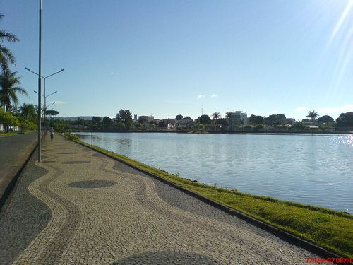 | ||
Lagoa Formosa is a Brazilian municipality located in the northwest of the state of Minas Gerais. Its population as of 2007 was 16,521 people living in a total area of 844 km². The city belongs to the mesoregion of Triângulo Mineiro e Alto Paranaíba and to the microregion of Patos de Minas. It became a municipality in 1962.
Contents
- Map of Lagoa Formosa State of Minas Gerais Brazil
- Location
- Distances
- Economic activities
- Health and education
- References
Map of Lagoa Formosa - State of Minas Gerais, Brazil
Location
The urban center is located at an elevation of 902 meters 19 km southeast of Patos de Minas on federal highway BR-354. Neighboring municipalities are: Patos de Minas (N), Carmo do Paranaíba (E), Carmo do Paranaíba (S), and Patos de Minas (W).
Sister city
Distances
Connections to the north and south are made by federal highway BR-354, which lies 4 km from the city center.
Economic activities
The most important economic activities are cattle raising, commerce, and agriculture, especially the growing of coffee. The GDP in 2005 was R$ R$103 million, of which 50 million came from services, 06 million came from industry, and 42 million came from agriculture. Lagoa Formosa is in the top tier of municipalities in the state with regard to economic and social development. As of 2007 there was 01 banking agency in the town. There was a modest retail infrastructure serving the surrounding area of cattle and agricultural lands. There were 2,647 automobiles in all of the municipality (2007), about one for every 06 inhabitants.
In the rural area there were 1,666 establishments occupying 62,000 hectares (planted area, 9,500 ha, and natural pasture, 45,500 ha.) (2006). About 4,400 persons were employed in agriculture. 114 of the farms had tractors, a ratio of one in 12 farms. There were 64,000 head of cattle in 2006. The main crops were coffee, soybeans, beans and corn.
Health and education
In the health sector there were 11 health clinics and one hospital with 26 beds. In the educational sector there were 05 pre-primary schools, 09 primary schools, and 02 middle schools.
The highest ranking municipality in Minas Gerais in 2000 was Poços de Caldas with 0.841, while the lowest was Setubinha with 0.568. Nationally the highest was São Caetano do Sul in São Paulo with 0.919, while the lowest was Setubinha. In more recent statistics (considering 5,507 municipalities) Manari in the state of Pernambuco has the lowest rating in the country—0,467—putting it in last place.