
- elevation 1,755 ft (535 m) - average 157 cu ft/s (4 m/s) Basin area 2,994 km² Basin area 2,994 km² | - elevation 934 ft (285 m) Length 190 km Discharge 4.446 m³/s | |
 | ||
- left West Branch Lac qui Parle River | ||
The Lac qui Parle River is a tributary of the Minnesota River, 118 miles (190 km) long, in southwestern Minnesota in the United States. A number of tributaries of the river, including its largest, the West Branch Lac qui Parle River, also flow in eastern South Dakota. Via the Minnesota River, the Lac qui Parle River is part of the watershed of the Mississippi River, draining an area of 1,156 square miles (2,990 km2) in an agricultural region. Slightly more than two-thirds of the Lac qui Parle watershed is in Minnesota. Lac qui parle means "the lake which speaks" in the French language, and was a translation of the Sioux name for Lac qui Parle, a lake on the Minnesota River upstream of the mouth of the Lac qui Parle River.
Contents
Map of Lac qui Parle River, Lac Qui Parle Township, MN, USA
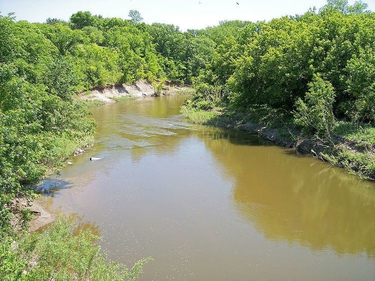
The source of the river is Lake Hendricks on the boundary of Lincoln County, Minnesota, and Brookings County, South Dakota. It issues from the lake in Hendricks, Minnesota, and flows northeastwardly through northwestern Lincoln County as an intermittent stream on the Coteau des Prairies, a morainic plateau dividing the Mississippi and Missouri River watersheds, into western Yellow Medicine County, where it flows off the Coteau, dropping 250 feet (76 m) in eight miles (13 km). Continuing northeastwardly through flat till plains with occasional willows and cottonwoods along its banks, the river flows into eastern Lac qui Parle County, passing to the east of Dawson. It flows into the Minnesota River just below Lac qui Parle Lake in Lac qui Parle State Park, approximately ten miles (15 km) northwest of Montevideo, after flowing through a wooded valley in which it drops 210 feet (64 m) in 18 miles (29 km). Lac qui Parle Lake was formed by a delta at the mouth of the Lac qui Parle River, and is maintained by a dam.
The river's largest tributary, the West Branch Lac qui Parle River, 64.1 miles (103.2 km) long, rises on the coteau in eastern Deuel County, South Dakota, and flows initially northeastwardly as an intermittent stream, past Gary, South Dakota, then eastwardly through Lac qui Parle County, past Dawson. Other tributaries include two small trout streams: Canby Creek, 24 miles (39 km) long, which flows northeastwardly on the Coteau in western Yellow Medicine County, through Canby; and Tenmile Creek, 33 miles (53 km) long, which flows eastward and northwardy through Lac qui Parle County, through Boyd.
According to the Minnesota Pollution Control Agency, of the 806 square miles (2,090 km2) of the river's watershed in Minnesota, 79% of the land is used for agricultural cultivation, primarily corn and soybeans.
Flow rateEdit
At the United States Geological Survey's stream gauge near the community of Lac qui Parle in Lac qui Parle Township, the annual mean flow of the river between 1910 and 2005 was 157 cubic feet per second (4 m³/s). The highest recorded flow during the period was 17,100 ft³/s (484 m³/s) on April 10, 1969. Readings of zero were recorded on numerous days during several years.