
Primary inflows Max. width 250 m (820 ft) Surface elevation 750 m Length 3.5 km | Primary outflows Doubs Max. length 3.5 km (2.2 mi) Surface area 0.8 km (0.31 sq mi) Area 80 ha Width 250 m Inflow source Doubs | |
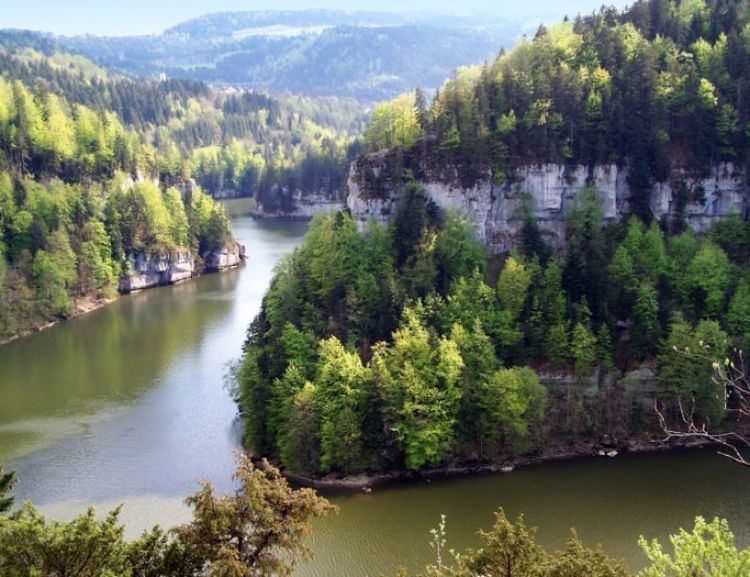 | ||
Lac des Brenets (Swiss name) or Lac de Chaillexon (French name) is a lake on the Doubs River on the border of Switzerland and France.
Contents
Map of Lac des Brenets
Characteristics
The depression in which the lake lies was formed by the movements of a glacier, while the lake itself was formed by a natural barrier around 12 000 years ago. At the downstream end is a waterfall known as the Saut du Doubs. A few hundred metres away, a bridge connects the French and Swiss sides of the lake.
References
Lac des Brenets Wikipedia(Text) CC BY-SA