
Country France Time zone CET (UTC+1) Local time Friday 7:31 PM | Area 8.15 km² Population 173 (1999) | |
 | ||
Intercommunality Communauté de communes de l'Hesdinois Weather 11°C, Wind S at 6 km/h, 80% Humidity | ||
Labroye is a commune in the Pas-de-Calais department in northern France.
Contents
Map of Labroye, France
Geography
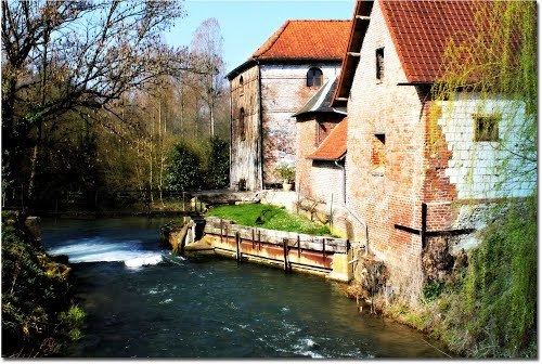
Labroye is situated in a hillside environment in the valley of the river Authie, which flows through the village. A mixture of woodland and farms, the village has many examples of typical Picardie houses, built in the traditional style with wattle and daub, covered in tar and then whitewashed. The village is at the crossroads of two départemental routes. One, north-south going from Hesdin to Abbeville, the D928 and the other going east-west to Auxi-le-Château and on to Berck, the D119.
Economy
Agricultural activity is confined to the raising of cattle for milk and beef, and pig farming.
Places of interest
References
Labroye Wikipedia(Text) CC BY-SA