
Basin size 1,700 km (660 sq mi) Basin area 1,700 km² | Length 97 km | |
 | ||
River mouth Atlantic Oceansea level Cities | ||
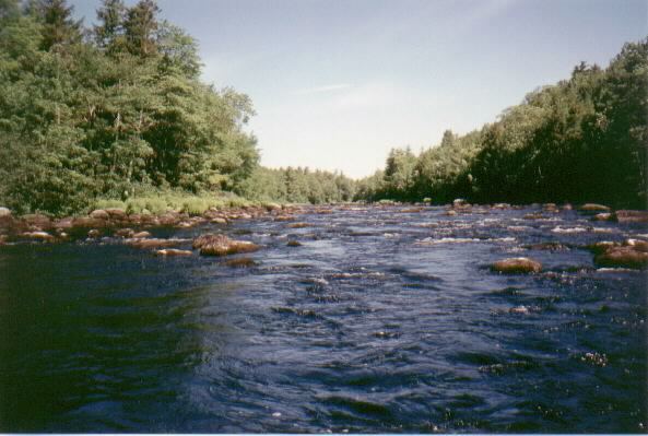
Cruising the lahave river nova scotia canada
The LaHave River is a 97 km (60 mi) river in Nova Scotia, Canada, running from its source in Annapolis County to the Atlantic Ocean. Along its way, it splits the communities of LaHave and Riverport and runs along the Fairhaven Peninsula and bisects the town of Bridgewater flowing into the LaHave River estuary .
Contents
Map of LaHave River, Nova Scotia, Canada
The river and various spots in the area were named after Cap de la Hève, in France, by Pierre Dugua, Sieur de Monts in 1604. The name was later anglicized to LaHave.
Briefly a haven of pirates in the French era, the river later became a major lumbering and shipbuilding centre. The numerous large vessels constructed along the river include the famous clipper ship Stag. The river has since become a popular area for salmon fishing, attracting fisherman from mid-May to early July. According to estimates by the Province of Nova Scotia, there are 21,907 people resident within the LaHave watershed in 2011.