
Country United States County Walker Area code(s) 706/762 Elevation 247 m Zip code 30728 Population 7,073 (2013) | Time zone Eastern (EST) (UTC-5) FIPS code 13-44312 Area 21 km² Local time Friday 9:16 AM Number of airports 1 | |
 | ||
Weather 14°C, Wind N at 11 km/h, 85% Humidity | ||
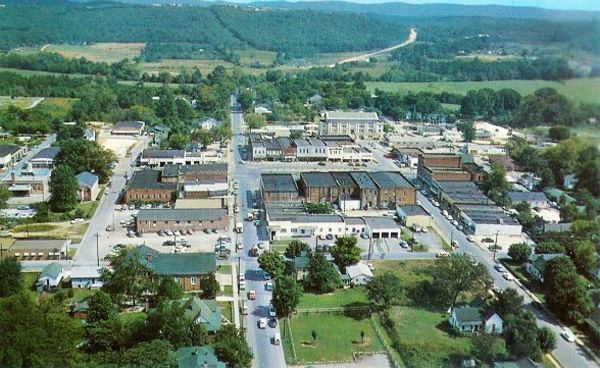
Come to lafayette georgia everyone s hometown
LaFayette is a city in, and the county seat of, Walker County, Georgia, United States. As of the 2000 census, the city population was 6,702, which rose to 7,121 in 2010. It was founded as Chattooga.
Contents
- Come to lafayette georgia everyone s hometown
- Map of LaFayette GA 30728 USA
- History
- Geography
- Demographics
- Walker County School District
- Notable people
- References
Map of LaFayette, GA 30728, USA
LaFayette is part of the Chattanooga, TN-GA Metropolitan Statistical Area.
History
LaFayette was founded as Chattooga, in 1835, as the seat of newly formed Walker County. The county was named after the former United States senator Freeman Walker. Chattooga was renamed LaFayette in 1836 after Gilbert du Motier, Marquis de Lafayette, the French aristocrat who fought in the American Revolutionary War.
Geography
LaFayette is located at 34°42′35″N 85°17′2″W (34.709704, -85.283862). According to the United States Census Bureau, the city has a total area of 8.1 square miles (21 km2), all land.
Demographics
As of the census of 2010, there were 7,121 people, 2,712 households, and 1,749 families residing in the city. The population density was 871.6 people per square mile (319.9/km²). There were 2,926 housing units at an average density of 361.6 per square mile (139.6/km²). The racial makeup of the city was 88.6% White, 7.5% African American, 0.04% Native American, 0.9% Asian, 0.01% Pacific Islander, 0.76% from other races, and 0.93% from two or more races. Hispanic or Latino of any race were 1.07% of the population.
There were 2,712 households out of which 28.9% had children under the age of 18 living with them, 42.9% were married couples living together, 17.1% had a female householder with no husband present, and 35.7% were non-families. 32.6% of all households were made up of individuals and 17.1% had someone living alone who was 65 years of age or older. The average household size was 2.33 and the average family size was 2.94.
In the city, the population was spread out with 24.1% under the age of 18, 9.8% from 18 to 24, 25.4% from 25 to 44, 21.6% from 45 to 64, and 19.2% who were 65 years of age or older. The median age was 38 years. For every 100 females there were 83.5 males. For every 100 females age 18 and over, there were 80.2 males.
The median income for a household in the city was $23,093, and the median income for a family was $29,387. Males had a median income of $27,528 versus $20,906 for females. The per capita income for the city was $15,318. About 16.0% of families and 27.2% of the population were below the poverty line, including 33.4% of those under age 18 and 15.7% of those age 65 or over.
Walker County School District
The Walker County School District holds pre-school to grade twelve, and consists of nine elementary schools, three middle schools, and two high schools. The district has 577 full-time teachers and over 8,844 students.