
Last eruption 1620 | Elevation 1,297 m Parent range Serranía de Tabasará | |
 | ||
Similar El Valle, Moyuta, Tecuamburro, Cuilapa‑Barbarena, Las Pilas | ||
La Yeguada (also known as Chitra-Calobre) is a massive stratovolcano located in Veraguas Province, Panama, north of the Azuero Peninsula.
Contents
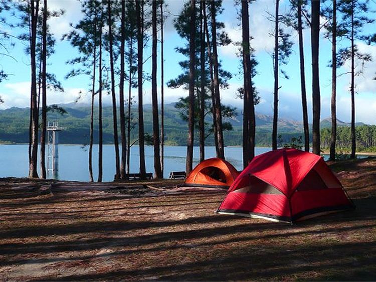
Map of La Yeguada, Panama
Description
De Boer et al. were the first to show that La Yeguada volcano is active and part of the extension of the Central American volcanic arc in Panama. Further detailed work on the geochemistry of the lavas from La Yeguada and other volcanoes in Panama was completed by Defant et al. They substantiated, based on geochemistry, that the lavas were derived by subduction (calc-alkaline). Radiometric dates also showed that the volcanism falls into two groups that range from 20 million years to recent. They also showed that the youngest volcanism consists primarily of adakites (partial melts from the subducted slab) whereas the older volcanism is normal calc-alkaline lavas.
The region is also home to several sorts of trees, mainly, Guayacanes which are now one of the most abundant trees in the region of Azuero, the valley is also an agricultural grassland since the Laguna La Yeguada works as a natural irrigation system which prevents the region's animals and plants from dehydration.
The woods in the valley is where most of the Panamanian Cedro wood is produced.