Country Peru Area 25,499.9 km2 | Capital Trujillo | |
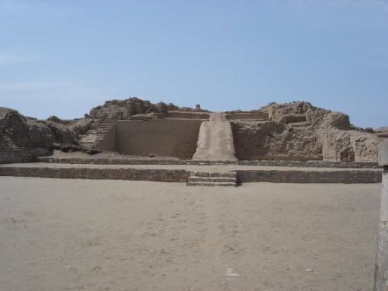
Colleges and Universities Cesar Vallejo University Points of interest Huaca del Sol, Huanchaco, Huaca de la Luna, Trujillo Cathedral, Plaza de Armas of Trujillo Destinations Trujillo, Huamachuco, Chepen, Huanchaco District, Moche - Trujillo | ||
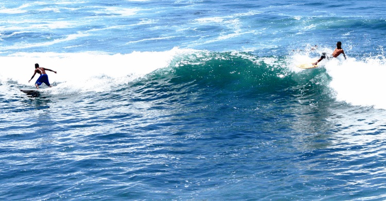
La Libertad is a region in northwestern Peru. Formerly it was known as the Department of La Libertad (), a political division that generally corresponds to a state in the United States of America. It is bordered by the Lambayeque, Cajamarca and Amazonas regions on the north, the San Martin Region on the east, the Ancash and Huanuco regions on the south and the Pacific Ocean on the west. Its capital is Trujillo, which is the nations third biggest city. The regions main port is Salaverry, one of Perus largest ports. The name of the region is Spanish for "freedom" or "liberty"; it was named in honor of the Intendencia of Trujillos proclaiming independence from Spain in 1820 and fighting for that.
Contents
- Map of La Libertad Region
- Name
- Geography
- Economy
- Places of interest
- Culture
- Festivals and events
- References
Map of La Libertad Region
Name
During the viceroyalty of Peru, the La Libertad region, together with the present-day regions of Lambayeque, Piura and Tumbes regions in Peru, and Guayaquil and El Oro Province in Ecuador, were all within the jurisdiction of the Intendencia de Trujillo. These were included in the domain of the city of Trujillo; together they comprised the Departamento de Trujillo of the viceroyalty.
After the Intendencia joined the emancipation cause and was the first to gain independence from Spain, in 1825 the Congress of the Peruvian republic changed the name to Departmento de la Libertad. Since the late 20th century, Peru has decentralized its government. All former Departments in Peru are now called Regions; their governors are elected, and they have more independent authority in decisionmaking.
Geography
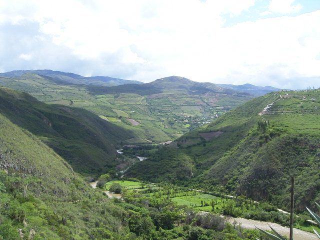
La Libertad is the only Peruvian region that includes all three natural regions of the nation: coast, Sierra (highlands), and selva (rainforest).
Trujillo, the capital, has a strategic location, near where the Andes come closest to the coast. Seen from Trujillo, the Andes appears as a row of low-elevation hills. The Andean Plateau increases altitude sharply to the east, in the provinces of Otuzco and Santiago de Chuco. These two provinces comprise the Pacific hydrographic watershed, which give rise to the Moche and Viru rivers, to the south, and Chicama River to the north. Pacasmayo Province, located more to the north, is along the coast. To the east, Sanchez Carrion Province waterways drain into the Amazon River and thus belong to the Atlantic Ocean watershed.
Economy
Some of the main companies in La Libertad Region are the following:
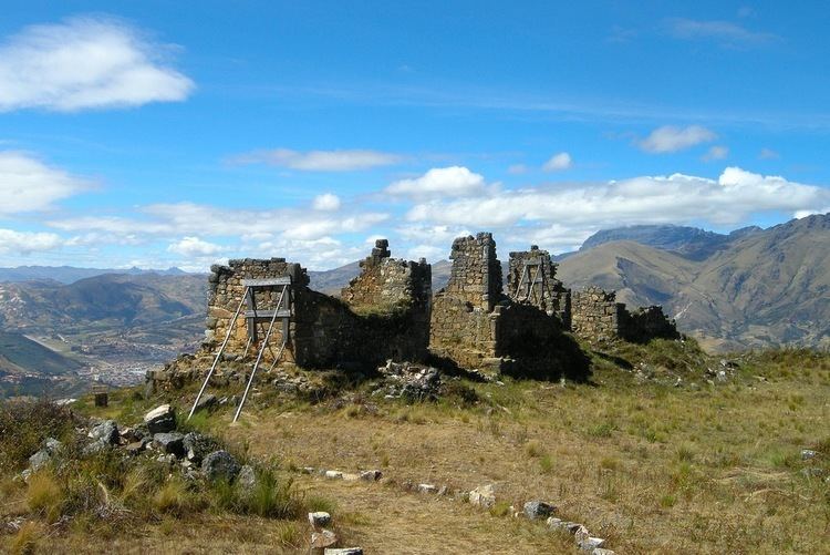
Places of interest
Culture
Festivals and events