
Canton Argueil Area 3.75 km² | Region Normandy Local time Friday 5:39 AM | |
 | ||
Weather 7°C, Wind E at 10 km/h, 97% Humidity | ||
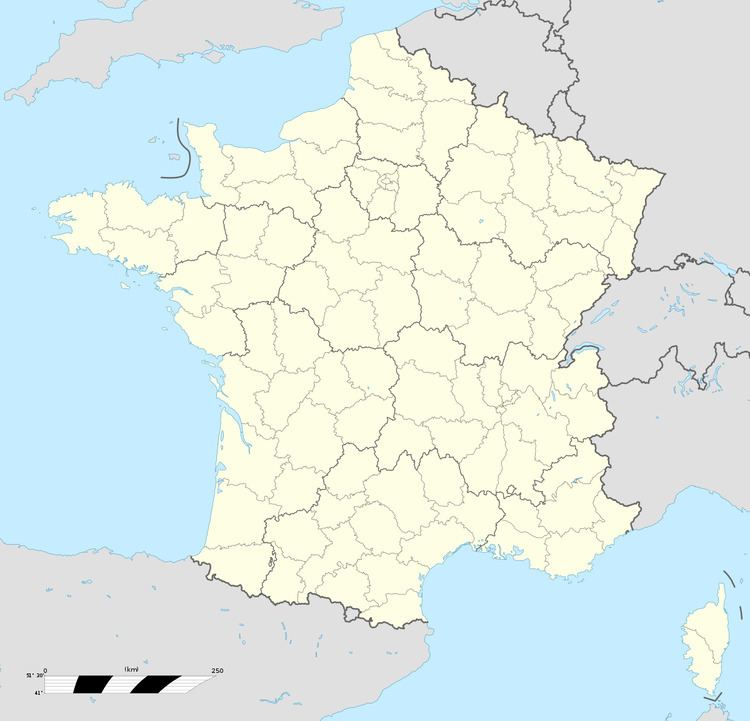
La Hallotière is a commune in the Seine-Maritime department in the Haute-Normandie region in north-western France.
Contents
Map of 76780 La Halloti%C3%A8re, France
Geography
A farming village situated by the banks of the Andelle river in the Pays de Bray, some 15 miles (24 km) northeast of Rouen near the junction of the D57 and the D921 roads.
Places of interest
References
La Hallotière Wikipedia(Text) CC BY-SA