
Governing body U.S. Forest Service Nearest city Monte Vista | Area 524.6 km² Established 1964 | |
 | ||
Management United States Forest Service | ||
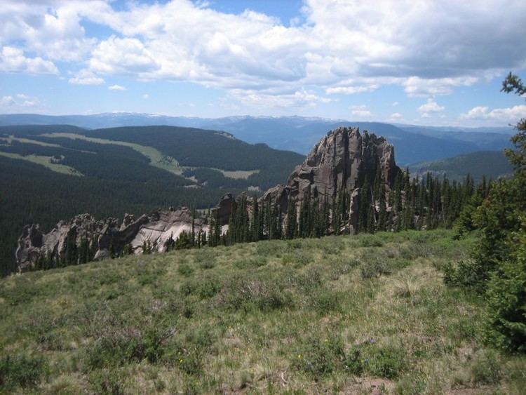
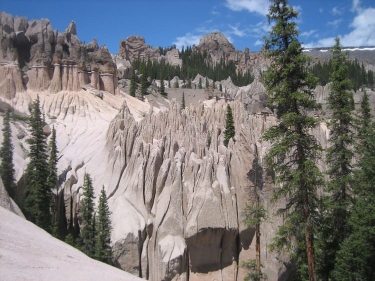
Wheeler geologic area la garita wilderness
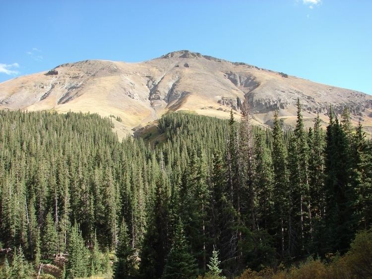
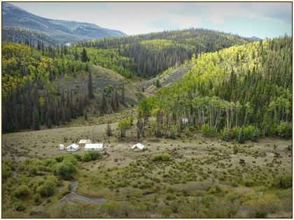
The La Garita Wilderness is a U.S. Wilderness Area located in the La Garita Mountains of southern Colorado. The 129,626-acre (524.58 km2) wilderness established in 1964 in Gunnison and Rio Grande National Forests includes segments of the Colorado Trail and the Continental Divide Trail. At 14,014 feet (4,271 m), San Luis Peak is the highest point in the wilderness area.
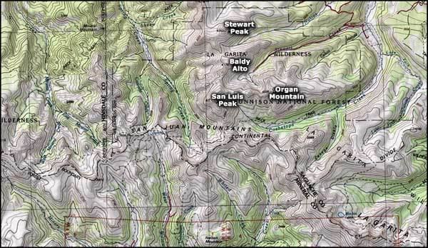
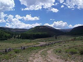
One entrance to the wilderness area is via Forest Road 787 from Saguache Park and Cochetopa Park off State Highway 114 west of Saguache, Colorado. There is a parking lot for visitors to the wilderness area at the south end of FS 787. Cochetopa Park may also be entered from the east over Cochetopa Pass via Saguache County Road NN14.
References
La Garita Wilderness Wikipedia(Text) CC BY-SA