
Country Cuba Area code(s) +53-82 Local time Thursday 10:11 PM | Time zone EST (UTC-5) Elevation 4 m | |
 | ||
Weather 21°C, Wind NE at 5 km/h, 79% Humidity | ||
La Fe (Spanish for "The Faith") is a Cuban village of the municipality of Sandino, in Pinar del Río Province. It is part of the consejo popular ("people's council") of Cayuco.
Contents
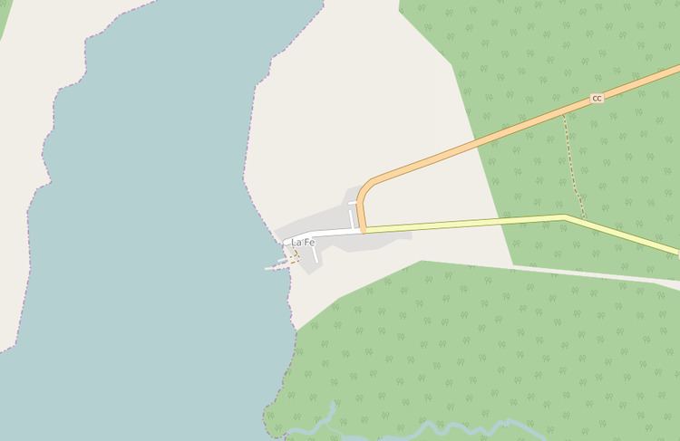
Map of La Fe, Cuba
Geography
Located in a recess of the Guadiana Bay (Bahía de Guadiana), close to the Guanahacabibes Peninsula and its national park, it is one of the westernmost places in Cuba, 100 km far from Cape San Antonio, the island's western extremity. It is 10 km far from the nearby village of Cayuco, 9 from Sandino and 84 from Pinar del Río.
Transport
The village counts a little port and a road linking it to the villages in Guanahacabibes peninsula. It is mainly famous to be the western starting point of the Carretera Central, a highway spanning the length of the island of Cuba for 1,435 km, that ends in the city of Baracoa, Guantánamo Province.