Area 41.42 km² Local time Friday 3:09 AM | Canton La Courtine Time zone CET (UTC+1) Population 971 (1999) | |
 | ||
Weather 5°C, Wind NE at 10 km/h, 89% Humidity | ||
La Courtine is a commune in the Creuse department in the Nouvelle-Aquitaine region in central France.
Contents
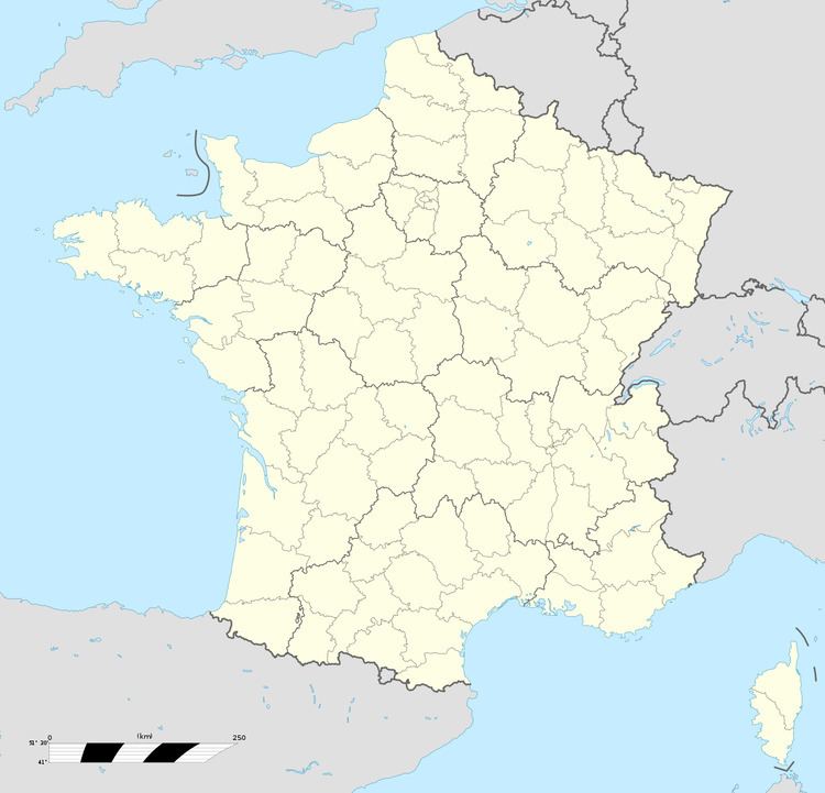
Map of 23100 La Courtine, France
Geography
An area of lakes, forestry and farming comprising the village and several hamlets situated in the Creuse River valley, some 18 miles (29 km) south of Aubusson, at the junction of the D25, D29 and the D992. The commune is within the natural park of Millevaches, (1000 lakes, not cows).
La Courtine military camp
The foundation of the camp in 1904 transformed the town: the inhabitants remained paysants during the day but became bar-keepers at night and soon there were more bars than inhabitants.
Sights
References
La Courtine Wikipedia(Text) CC BY-SA
