Country France Canton La Clayette Population (2006) 2,014 Local time Friday 2:42 AM | Intercommunality Pays clayettois Area 3.12 km² | |
 | ||
Region Bourgogne-Franche-Comté Weather 9°C, Wind NW at 3 km/h, 82% Humidity | ||
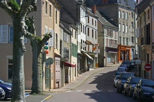
La Clayette is a commune in the Saône-et-Loire department in the region of Bourgogne in eastern France.
Contents
- Map of 71800 La Clayette France
- Geography
- Access
- History
- Chapelle Sainte Avoye
- Twin towns Sister cities
- Tourism
- References
Map of 71800 La Clayette, France
Geography
La Clayette is situated in the Brionnais area, in the south-west of the Saône-et-Loire département.
Access
History
Chapelle Sainte Avoye
The construction of Sainte Avoye's chapel, in the flamboyant gothic style, was due to Louis de Chantemerle in the fifteenth century.
Twin towns – Sister cities
Tourism
In Bourgogne-Franche-Comté, you can see :
References
La Clayette Wikipedia(Text) CC BY-SA
