
Area 7.83 km² | Population (2008) 3,209 Local time Friday 2:15 AM | |
 | ||
Weather 11°C, Wind W at 5 km/h, 80% Humidity | ||
La Chapelle-Saint-Ursin is a commune in the Cher department in the Centre region of France.
Contents
Map of 18570 La Chapelle-Saint-Ursin, France
Geography
A small town of farming and light industry situated some 3 miles (4.8 km) southwest of Bourges at the junction of the D16 and the D107 roads. The A71 autoroute cuts across the middle of the commune’s territory.
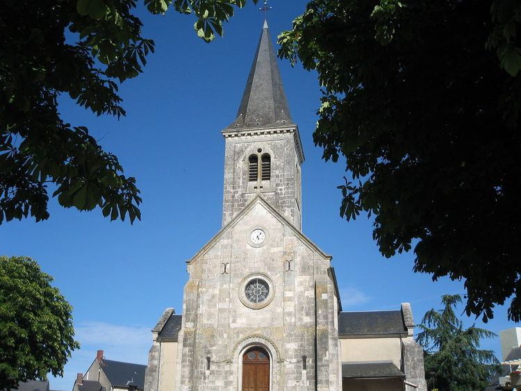
Sights
References
La Chapelle-Saint-Ursin Wikipedia(Text) CC BY-SA