
Intercommunality Isle-Crémieu Area 14.61 km² | Canton Crémieu Population (2010) 915 | |
 | ||
La Balme-les-Grottes is a French commune in the Isère department in the Auvergne-Rhône-Alpes region of south-eastern France.
Contents
- Map of 38390 La Balme les Grottes France
- Geography
- History
- Administration
- Demography
- Economy
- Civil heritage
- Religious heritage
- Environmental heritage
- Notable people linked to the commune
- References
Map of 38390 La Balme-les-Grottes, France
The inhabitants of the commune are known as Balmolans or Balmolanes.
Geography
La Balme-des-Grottes is located some 32 km east by north-east of Lyon and 11 km south of Ambérieu-en-Bugey on the right bank of the Rhône. The Rhône also forms the departmental border between Isère and Ain. Access to the commune is by the D65 road from Leyrieu in the south which passes through the length of the commune and the village and continues north to join the D1075 west of Vertrieu. The D52B branches from the D65 in the commune and goes south to Saint-Baudille-de-la-Tour. The D52C also branches from the D65 at the same intersection and goes south-east to Charette. The commune is mixed forest and farmland with dense forests in the north-east.
The Rhône river forms the entire western border of the commune with no crossing points anywhere in the commune. The commune is covered by a network of canals linked to the Rhône and the Ruisseau de Laye which is a minor loop of the Rhône.
History
Neanderthal men from the Middle Paleolithic period left flint tools and food scraps in the La Balme caves. Around 15000/13000 BC, in the late Upper Paleolithic, Cro-Magnon hunters did the same in the shelter of the cave: flints and bones of reindeer, ibex, aurochs, and horses have been found.
From about 4000 BC, Neolithic farmers colonised the region leaving their polished axes, flints, and pots in Louvaresse and Travers. Collective graves and vases have also been found in the cave from that time. It was especially at the end of the Bronze Age that they left very important remains (1250-950 BC): numerous tombs with cremation urns and animal offerings have been found in crevices and under boulders in a large part of the cave. It is an underground necropolis of the Urnfield culture, now well-known to European specialists for its wealth of ceramic vases from a full scientific publication.
Part of the archaeological material from all eras is displayed in the Heritage House at Hières-sur-Amby where it was sent in 1985 by the excavators.
Administration
List of Successive Mayors
(Not all data is known)
Demography
In 2010 the commune had 915 inhabitants. The evolution of the number of inhabitants is known from the population censuses conducted in the commune since 1793. From the 21st century, a census of communes with fewer than 10,000 inhabitants is held every five years, unlike larger communes that have a sample survey every year.
Sources : Ldh/EHESS/Cassini until 1962, INSEE database from 1968 (population without double counting and municipal population from 2006)
Economy
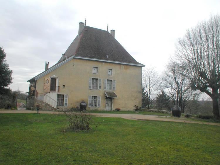
Civil heritage
The commune has many buildings and sites that are registered as historical monuments:
Religious heritage
The commune has several religious buildings and structures that are registered as historical monuments: