
Demonym(s) Albuereños Elevation 253 m Population 2,029 (2014) Local time Friday 12:22 AM | Time zone CET (UTC+1) Area 26.4 km² | |
 | ||
Weather 14°C, Wind SE at 8 km/h, 66% Humidity | ||
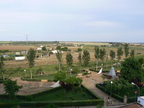
La Albuera is a village southeast of Badajoz, Extremadura, Spain. As of 2009 it had a population of c. 2,000 inhabitants.
Contents
Map of 06170 La Albuera, Badajoz, Spain
History
It was scene of the Battle of Albuera (May 16, 1811) between the British troops under William Carr Beresford and the French ones led by Marshal Soult, in the course of the Peninsular war.
Geography
Located south of the city of Badajoz and next to the Spanish borders with Portugal, La Albuera is, along with Guadiana del Caudillo, an enclave entirely surrounded by the municipal territory of Badajoz.
References
La Albuera Wikipedia(Text) CC BY-SA