
Area 26.94 km² Population 422 (1999) | Region Occitanie Arrondissement Foix Intercommunality Pays d'Olmes Local time Monday 1:53 AM | |
 | ||
Weather 9°C, Wind W at 8 km/h, 83% Humidity | ||
L'Aiguillon is a French commune in the Ariège department in the Occitanie region of southwestern France.
Contents
- Map of 09300 LAiguillon France
- Location
- Hydrology
- Geology and relief
- Toponymy
- History
- Administration
- Demography
- Sites and monuments
- Notable people linked to the commune
- References
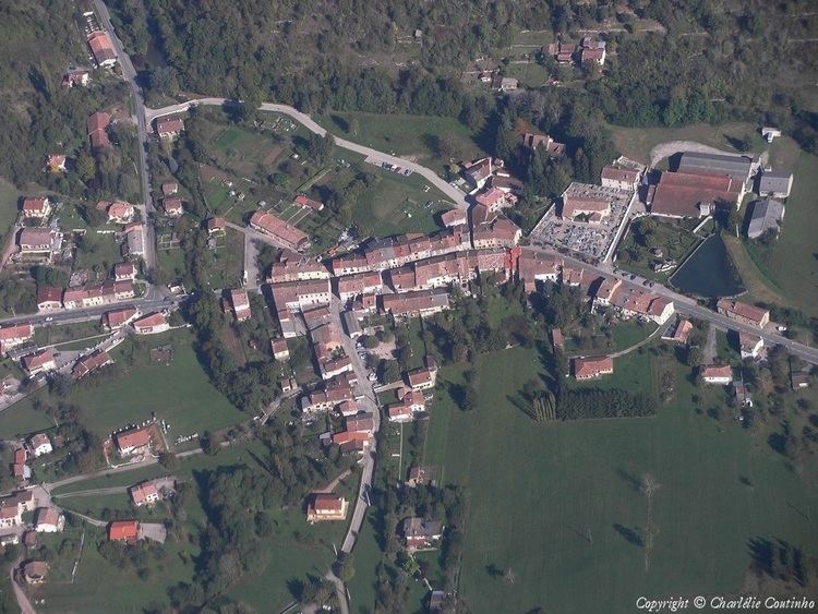
Map of 09300 L'Aiguillon, France
The inhabitants of the commune are known as Aiguillonnois or Aiguillonnoises
Location
L'Aiguillon is part of the natural region of Olmes Country and lies halfway between Lavelanet, the capital of the canton and Bélesta. It has a number of hamlets and localities including Terris, Durenat, Couchou, Pagès, Jordy, Ramoundino, Les Peyriquets, Saint Charles, and Roudière.
The D117 road (the former National Route N117) passes through the commune and is joined in the centre of the village by the D16 road.
Hydrology
The Hers traverses the commune in the north at the foot of the Crète de l’Arse. Several tributaries join it within the commune: streams of Benaix, Mede, and Bacref.
Geology and relief
The commune lies at the bottom of a gorge carved by the Hers in the Massif de Plantaurel of the Pyrenees Mountains. The village is sandwiched between the peak of Mede to the south which rises to 912 metres (2,992 feet) above sea level and the peak of the Arse to the north whose highest point is 718 metres (2,356 feet). The latter is cut off from the Bouchard peak by the Balussous Pass where the Hers turns north (see map).
Toponymy
L'Aiguillon was formerly spelled L’Éguillon.
In Occitan L'Aiguillon is called agulhon which means "a sharp height".
History
The Lordship of L'Aiguillon came under Mirepoix until the sharing of the fief in 1329 when it passed to the authority of Léran. From the 16th century L'Aiguillon was part of the barony of Bélesta with the lordships of Bélesta and Fougax. The village was part of the commune of Bélesta until its separation in 1926.
The main industries in the 19th and 20th centuries were, as is the case in all of Olmes Country, were those of horn comb manufacturing (formerly made of boxwood) and spinning.
Administration
List of mayors
(Not all data is known)
Demography
In 2009 L'Aiguillon had 392 inhabitants (a decrease of 8% compared to 1999). The commune held the 19,153rd place at the national level, while it was at 17,083rd in 1999 and 77th at the departmental level out of 332 communes.
The commune was created out of Bélesta in 1926.
The evolution of the number of inhabitants is known through the population censuses conducted in the commune since 1926. From the 21st century, a census of communes with fewer than 10,000 inhabitants is held every five years, unlike larger towns that have a sample survey every year.
The maximum population was reached in 1990 with 480 residents.
Sources : Ldh/EHESS/Cassini until 1962, INSEE database from 1968 (population without double counting and municipal population from 2006)