
Canton Isle-en-Dodon Area 22.58 km² | Region Occitanie Intercommunality Portes du Comminges Local time Monday 3:10 AM | |
 | ||
Weather 8°C, Wind W at 5 km/h, 94% Humidity | ||
L'Isle-en-Dodon is a commune in the Haute-Garonne department in southwestern France
Contents
Map of 31230 L'Isle-en-Dodon, France
Geography
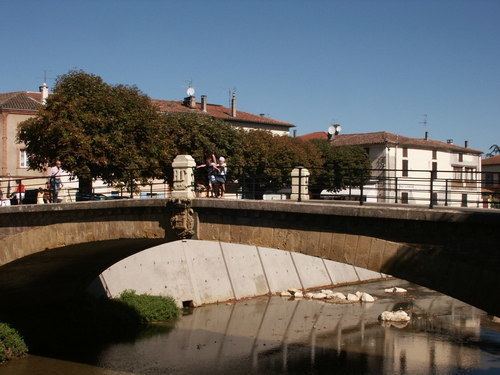
L'Isle-en-Dodon is located on the Save river, at the northern end of the plate of Lannemezan. The slopes which surround the city point out the nearby gersois country.
Transportation
L'Isle-en-Dodon is 60 kilometres from Toulouse by road, a journey which takes approximately an hour. A regular bus service runs three times a day to Toulouse. At Saint-Gaudens, 45 km (28 mi) to the south in the valley of the Garonne, the A64 autoroute and the SNCF train line pass.
References
L'Isle-en-Dodon Wikipedia(Text) CC BY-SA