
Basin size 1,152 km (445 sq mi) | Length 143 km | |
 | ||
Sources | ||
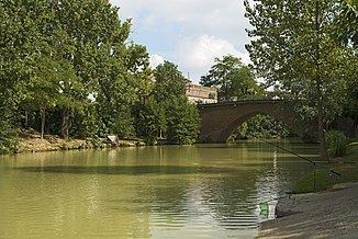
The Save is a 143 km long river in southern France, left tributary of the Garonne. Its source is in the northern foothills of the Pyrenees, south of Lannemezan. It flows north-east through the following départements and cities:
Map of La Save, France
It flows into the Garonne in Grenade, north of Toulouse.
Among its tributaries is the Gesse.
References
Save (Garonne) Wikipedia(Text) CC BY-SA