Time zone CET/CEST (UTC+1/+2) Area 156.1 km² Local time Sunday 5:05 PM Number of airports 1 | Elevation 42 m (138 ft) Postal codes 16866 Population 9,793 (31 Dec 2008) Postal code 16866 | |
 | ||
Weather 5°C, Wind SE at 14 km/h, 92% Humidity | ||
Gopro pov autumn drive autofahren durch landesstrasse kyritz to wittstock germany
Kyritz ( [ˈkyːʁɪts]) is a town in the Ostprignitz-Ruppin district, in Brandenburg, Germany. It is situated 28 km west of Neuruppin and 28 km southeast of Pritzwalk.
Contents
- Gopro pov autumn drive autofahren durch landesstrasse kyritz to wittstock germany
- Map of Kyritz Germany
- Overview
- History
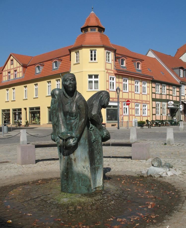
- Photogallery
- References
Map of Kyritz, Germany
There are 9,900 inhabitants (2007).
Overview
The town is situated near the Kyritzer Seenkette, a chain of lakes. The town is nicknamed "Kyritz an der Knatter" (Kyritz at the Rattle). The noise of numerous water mills along a stream parallel to the river Jäglitz was the reason for this nickname. This river channel does not exist anymore.
The town includes the districts Berlitt, Bork, Drewen, Gantikow, Ganz, Holzhausen, Kötzlin, Lellichow, Mechow, Rehfeld and Teetz.
History
Photogallery
References
Kyritz Wikipedia(Text) CC BY-SA
