
Highest elevation 302 m (991 ft) Elevation 302 m Max length 8.5 km | Total islands 2 Highest point Mt. Panagias Regional unit Sporades Area 25 km² Area code 24240 | |
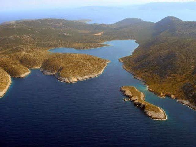 | ||
Alonissos kyra panagia a boat trip with cptn pakis 1
Kyra Panagia (Greek: Κυρά Παναγιά [ˈcira paˈnaʝa]) is a Greek island in the Sporades. It is administratively part of the municipality of Alonnisos in the Sporades regional unit. The island is also known by the name of Pelagos and rarely Pelagonisi. In Antiquity it was known as Ephthyros (Έφθυρος) and Polyaigos (Πολύαιγος). A bay in the south west of the island is named Agios Petros. Kyra Panagia has belonged to the Athonite monastery of Megisti Lavra since it was granted the island by the Byzantine emperor Nikephoros II Phokas in 963. There is a monastery, currently (2011) under restoration and inhabited by a single monk, on the east coast of the island. As of 2011, the resident population of the island was 2. Kyra Panagia is in Zone B of the Alonnisos Marine Park.
Contents
- Alonissos kyra panagia a boat trip with cptn pakis 1
- Map of Kyra Panagia Alonnisos Greece
- Nearest islands and islets
- References
Map of Kyra Panagia, Alonnisos, Greece
Nearest islands and islets
Its nearest islands and islets are Gioura to the northeast and the main island of Alonnisos to the southwest.