
Highest elevation 177 m (581 ft) Elevation 570 m | Total islands 3 Highest point Mt. Vouni Regional unit Sporades Max length 8 km Area code 24240 | |
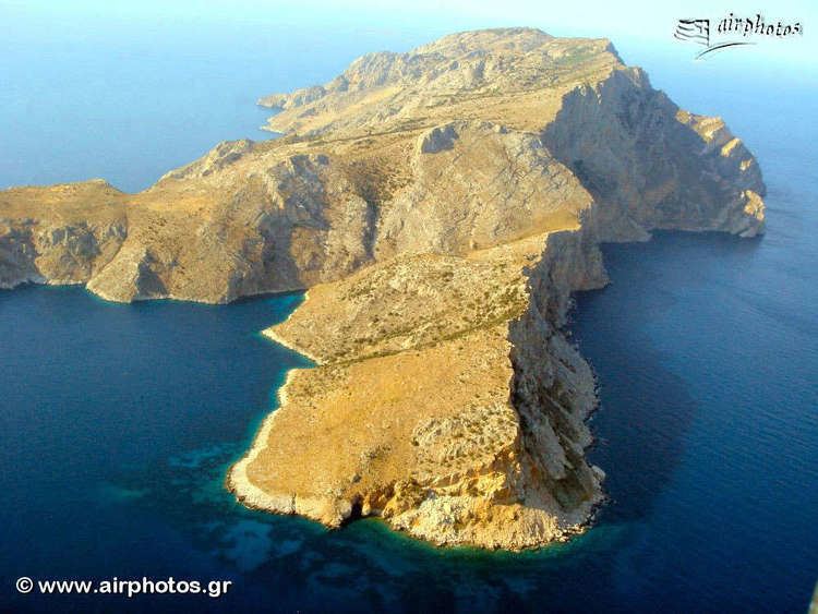 | ||
Gioura (Greek: Γιούρα) is a Greek island and an abandoned settlement in the eastern part of the Sporades. It is administratively part of the municipality of Alonnisos. The island name dates back to the ancient times as Gerontia. The name was later altered to Gioura. The island also features a Neolithic settlement. The 1991 census read one inhabitant making it the smallest municipal district in Greece in population. As of 2011, it had no resident population. Gioura is in Zone B of the Alonnisos Marine Park.
Contents
Map of Gioura, Alonnisos, Greece
Nearest islands and islets
Its nearest islands and islets are Pelagos to the west, Psathoura to the north and Piperi to the east.
References
Gioura Wikipedia(Text) CC BY-SA