
Established 1914 Area code 013 PO box 1022 | Elevation 1,325 m (4,347 ft) Local time Sunday 1:47 PM | |
 | ||
Weather 24°C, Wind E at 16 km/h, 46% Humidity Neighborhoods Somarobogo-E, Tetema, Stoffberg, Ystervarkfontein | ||
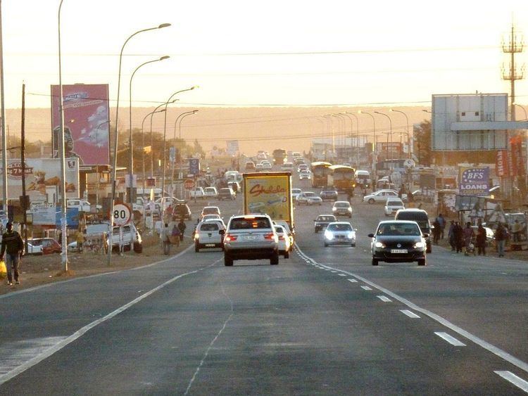
Kwamhlanga residents on challenges they face concerning safety
KwaMhlanga is a town in Mpumalanga, South Africa and is the spiritual home of the Ndebele tribe that settled here in the early 18th century.
Contents
- Kwamhlanga residents on challenges they face concerning safety
- Map of KwaMhlanga South Africa
- No arrest has been made we see the walking like nothing happened at kwamhlanga mpumalanga
- References
Map of KwaMhlanga, South Africa
This town developed into the administrative centre for the local government, and now houses the government administration for the North Western Region of the Mpumalanga Province.
To the north of KwaMhlanga, on the R568 near the village of Klipfontein, is located the Manala Royal Kraal; the Ndzundza Mabhoko Royal Kraal is situated further north at Weltevreden. By special arrangement, both of these kraals can be visited by small parties.
No arrest has been made we see the walking like nothing happened at kwamhlanga mpumalanga
References
KwaMhlanga Wikipedia(Text) CC BY-SA