
Coat of arms Flag Rural localities 84 | Selsoviets 12 Area 2,235 km² | |
 | ||
Federal subject Republic of Bashkortostan | ||
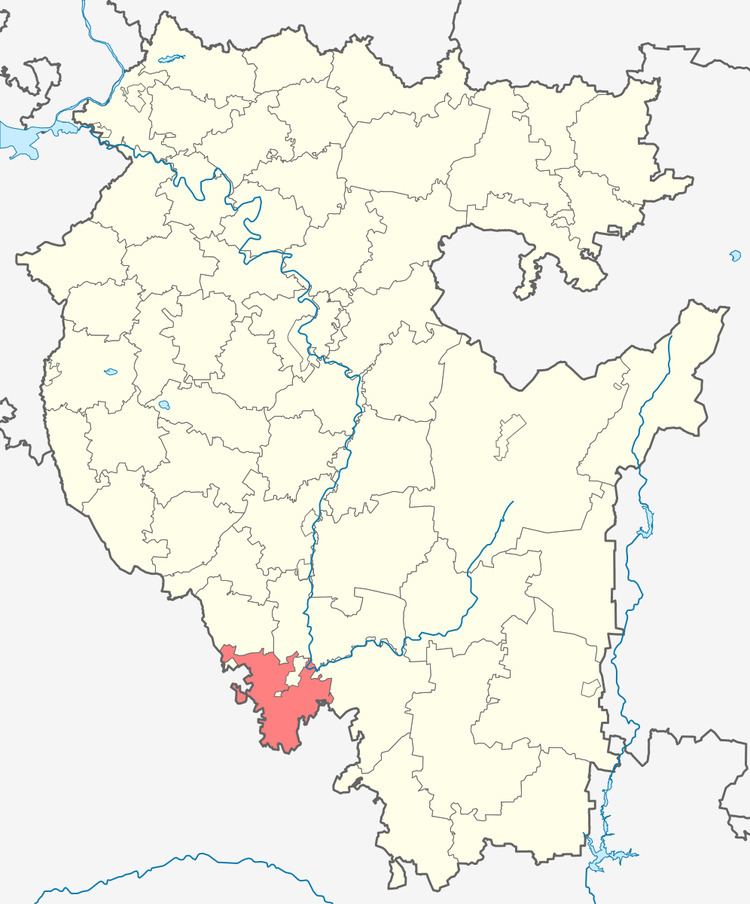
Kuyurgazinsky District (Russian: Куюргазинский райо́н; Bashkir: Көйөргәҙе районы) is an administrative and municipal district (raion), one of the fifty-four in the Republic of Bashkortostan, Russia. It is located in the southwest of the republic and borders with Fyodorovsky and Meleuzovsky Districts in the north, Kugarchinsky District in the east, and with Orenburg Oblast in the east, south, and west. The area of the district is 2,235 square kilometers (863 sq mi). Its administrative center is the rural locality (a selo) of Yermolayevo. As of the 2010 Census, the total population of the district was 25,125, with the population of Yermolayevo accounting for 25.5% of that number.
Contents
- Map of Kuyurgazinsky District Republic of Bashkortostan Russia
- History
- Administrative and municipal status
- References
Map of Kuyurgazinsky District, Republic of Bashkortostan, Russia
History
The district was established on January 31, 1935. Until 1992, it was called Kumertausky District (Кумертауский район).
Administrative and municipal status
Within the framework of administrative divisions, Kuyurgazinsky District is one of the fifty-four in the Republic of Bashkortostan. The district is divided into twelve selsoviets, comprising eighty-four rural localities. As a municipal division, the district is incorporated as Kuyurgazinsky Municipal District. Its twelve selsoviets are incorporated as twelve rural settlements within the municipal district. The selo of Yermolayevo serves as the administrative center of both the administrative and municipal district.