
Coat of arms Flag Rural localities 83 Founded 1926 | Area 2,616 km² | |
 | ||
Municipally incorporated as | ||
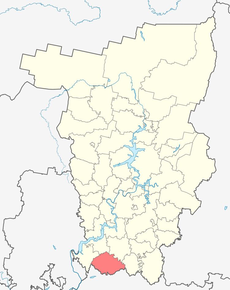
Kuyedinsky District (Russian: Куединский райо́н) is an administrative district (raion) of Perm Krai, Russia; one of the thirty-three in the krai. Municipally, it is incorporated as Kuyedinsky Municipal District. It is located in the south of the krai and borders with Bardymsky District in the north, Chernushinsky District in east, the Republic of Bashkortostan in the south, the territory of the town of krai significance of Chaykovsky in the west, and with Yelovsky District in the northwest. The area of the district is 2,617 square kilometers (1,010 sq mi). Its administrative center is the rural locality (a settlement) of Kuyeda. Population: 26,952 (2010 Census); 31,429 (2002 Census); 33,465 (1989 Census). The population of Kuyeda accounts for 35.4% of the district's total population.
Contents
Map of Kuyedinsky District, Permskiy Kray, Russia
Geography
The district's landscape is mostly flat with some hills in the north and east. Climate is temperate continental.
History
The district was established on June 10, 1931.
Demographics
Ethnic composition as of the 2002 Census:
Economy
The economy of the district is based on agriculture, oil industry, and food industry.