
Coat of arms Flag Cities/towns 1 Area 1,676 km² | Administrative center town of Chernushka Rural localities 74 Founded 1924 | |
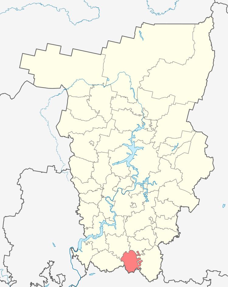 | ||
Chernushinsky District (Russian: Черну́шинский райо́н) is an administrative district (raion) of Perm Krai, Russia; one of the thirty-three in the krai. Municipally, it is incorporated as Chernushinsky Municipal District. It is located in the south of the krai and borders with Uinsky District in the north, Oktyabrsky District in the east, the Republic of Bashkortostan in the south, Kuyedinsky District in the west, and with Bardymsky District in the northwest. The area of the district is 1,676 square kilometers (647 sq mi). Its administrative center is the town of Chernushka. Population: 50,593 (2010 Census); 53,746 (2002 Census); 51,743 (1989 Census). The population of Chernushka accounts for 65.8% of the district's total population.
Contents
- Map of Chernushinsky District Permskiy Kray Russia
- Geography
- Climate
- History
- Demographics
- Economy
- References
Map of Chernushinsky District, Permskiy Kray, Russia
Geography
The district stretches for 54 kilometers (34 mi) from north to south and for approximately 56 kilometers (35 mi) from east to west. Geologically, it is located on the eastern outskirts of the East European craton. District's landscape is mostly flat with some hills. Major rivers include the Bystry Tanyp and the Tyuy. There are eighty-one ponds in the district, ten of which have a volume of over 100,000 cubic meters (3,500,000 cu ft), and the largest of which are Ryabovsky and Trushnikovsky Ponds. About 26% of the total district's territory is covered by forests.
Climate
The climate is temperate continental with relatively long and cold winters and warm summers. Average annual temperature is +1.5 °C (34.7 °F). Average January temperature is −15.6 °C (3.9 °F) and average July temperature is +18.4 °C (65.1 °F). Record high temperature is +37 °C (99 °F) (July 1952) and record low is −54 °C (−65 °F) (January 1, 1979). Annual precipitation is about 583 millimeters (23.0 in).
History
The district was established in 1925. In 1931, Ryabkovsky District was merged into it. In October 1938, the district became a part of Perm Oblast.
Demographics
Ethnic composition, according to the 2002 Census:
There are also Chuvash people, Mari people and other ethnic minorities living in the district.
Economy
The economy of the district is based on oil industry, production of building materials, food industry, and agriculture.
There are several explored oil fields in the district, with the major one being the Pavlovskoye Field. There are also deposits of building materials in the district.