
Airport type Public 07/25 6,000 Code YVP Phone +1 819-964-2968 | Elevation AMSL 131 ft / 40 m Elevation 39 m Province Québec | |
 | ||
Operator Kativik Regional GovernmentAdministration régionale Kativik Similar Kuujjuaq Inn, WSP Kuujjuaq, Northern Village of Kuujjuaq, Makivik Corporati, Nunavik Tourism Assn | ||
Kuujjuaq airport
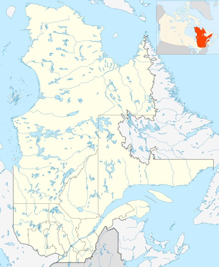
Kuujjuaq Airport, (IATA: YVP, ICAO: CYVP), is located 1.5 nautical miles (2.8 km; 1.7 mi) southwest of Kuujjuaq, Quebec, Canada.
Contents
Kuujjuaq airport
History
The airport site at Fort Chimo was located and surveyed on 12 July 1941 by a USAAF team under Captain Elliott Roosevelt, operating by amphibious aircraft out of Gander, Newfoundland and Labrador. The chosen site was five miles upstream from the trading post, on the opposite shore. River access was difficult due to shifting, sandy banks and ice and high tides in the estuary. Code-named Crystal I, Fort Chimo was founded on 10 October 1941 by about a 12-man weather station and radio communications crew under Antarctic veteran Lt. Cdr. Isaac Schlossbach. Runway construction commenced next summer. The Crystal stations were part of the Crimson East project for trans-Atlantic ferry flights, Chimo being referred to as “Bookie”. Fort Chimo did not actually serve in this intended capacity, but the station was useful for weather reporting, communications, and local support duties. Canada officially took control in 1944, although American crews remained for a period. Seasonal resupply was by U.S. Coast Guard cutters.
Fort Chimo was one of three "Crystal" sites in the Canadian Arctic Region, Frobisher Bay Air Base (now Iqaluit Airport), Northwest Territories being "Crystal II", and a station on Padloping Island being "Crystal III". A detachment of the 8th Weather Squadron, Air Transport Command (ATC) took up residence at the station on 1 October 1942. The initial mission of the Crystal sites was to provide long-range weather information to the combat forces then building up in the United Kingdom.
Crystal I was planned to be a transport hub between the Eastern Route, which originated at Presque Isle Army Airfield, Maine and the Central Route, which originated at Romulus Army Airfield (Detroit Airport), Michigan. From Crystal I, the aircraft would be ferried via Baffin Island; Greenland; Iceland and delivered to Scotland. The development of the Mid-Atlantic Transport through the Azores and improved performance of the Gander-Iceland main route led to the cancellation of the Crimson Route project in 1943. The United States presence at Crystal I was reduced to a skeleton weather squadron; which ended in 1945, and the facilities were turned over to the Canadian government.
Nav Canada opened a $7-million air traffic control facility near the airport. The radar station allows controllers in Montreal to monitor the steady stream of transatlantic air traffic over northern Quebec.
A large-scale terminal expansion project was carried out at the airport between 2006 and 2008. The $14.9 million project included the expansion of the airport apron and the construction of a brand new 1,225m2 terminal to replace the cramped building built in 1972. The building, designed by architect Alain Fournier, received a silver certification under the Canadian Leadership in Energy and Environmental Design (LEED) program.
Operations
Kuujjuaq Airport is a mandatory frequency airport with an operating Flight Service Station.
Airlines and destinations
Passenger
Cargo