
District Alappuzha PIN 688533 Population 22,880 (2001) Area code 0478 | Time zone IST (UTC+5:30) Telephone code 0478 Local time Sunday 2:09 PM | |
 | ||
Weather 33°C, Wind W at 14 km/h, 58% Humidity | ||
Kuthiathode is a gram panchayat in Alappuzha district in the Indian state of Kerala.
Contents
- Map of Kuthiathodu Kodamthuruth Kerala
- Administration
- Geography
- Economy
- History
- Tourism
- Demographics
- Transportation
- Hindu temples
- Mosques
- Churches
- Industrial Units
- Schools
- References
Map of Kuthiathodu, Kodamthuruth, Kerala
Administration
Kuthiathode comes under the Pattanakad Block in Aroor Assembly constituency.The name Kuthiathode comes from Kuthia (dug)+ thode (canal) means a dug-canal.
Geography
The Kuthiathode or the river stream was once the major waterway for transporting goods to the local market from Kochi via the Vembanad lake.
Economy
The local market on both sides of the river was a major commercial hub around the locality. Even now the market exists with few wholesale traders selling vegetables,provisions.The Kuthiathode river connects the vembanad lake with the Tazappu backwaters on the western side.
History
The Panchayat has a Gandhi memorial inside its office dedicated to Mahathma Gandhi who visited this place during the Pre-Independence period .The Panchayat office has library and a community hall.The Range Excise office is next to the Panchayat building.The Kuthiathode village office,Krishi Bhavan,Govt. Veterinary Clinic and a Sub-treasury also functions in Kuthiathode. The BSNL telephone exchange functions near the Kuthiathode Jamat mosque.
Tourism
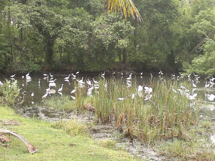
The landscape of paddy fields on both sides of the Pallithode-Chavady road is really splendid. One can enjoy the evening panoramic view of Chinese fishing nets across the Pallithode backwaters from the Pallithode bridge.A small backwater lake at Tazzupu connects Kuthiathode with Valiathode.During Onam boat racing is held in Tazzupu backwaters and attracts many seasonal tourists.
Kuthiathode, Vallethode, Parayakad, Nallukulanagara, Pallithode, Chapakadavu, Tirumalabhagom, Tazappu, Thuravoor North, and Valamangalam North are the local areas covered under the Panchayat. The vast agricultural lands on the western side or the Thuravoor Kari where large scale paddy cultivation and shrimp farming is done annually and serves as the seasonal livelihood for many of them .
Demographics
The population consists of Ezhavas, Nairs, Nampoothiris, Tulu Brahmins, Vermas, Tamil Brahmins,Goldsmiths, Viswakarmas, Gouda Saraswat Brahmins, Pulayas,Parayas, Kudumbis, Muslims and Christians living harmoniously.A large number of Shrimp Peeling Sheds operating in this panchayat provides large scale employment.
Transportation
The village is well connected to the nearest towns by NH-47, Thuravoor-Ezhupunna road and the Pallithode-Chellanam-Kochi beach road. The Alapuzha-Ernakulam Railway has a crossing station at Thuravoor.
Hindu temples
Mosques
Churches
Industrial Units
Schools
Demographics
As of 2001 India census, Kuthiathode had a population of 22,880 with 11,098 males and 11,782 females.