
First ascent 1932 Timashev Prominence 2,278 m Listing Ultra-prominent peak | Elevation 6,614 m | |
 | ||
Similar Chakragil, Karl Marx Peak, Independence Peak, Ismoil Somoni Peak, Vladimir Putin Peak | ||
Kurumdy Mountain is a mountain in the Pamir Mountains of Central Asia, in the eastern section of the Transalai Range. Kurumdy (Kurumdy I summit) has an elevation of 6,614 metres above sea level and sits on the international border between Kyrgyzstan and Tajikistan and China.
Contents
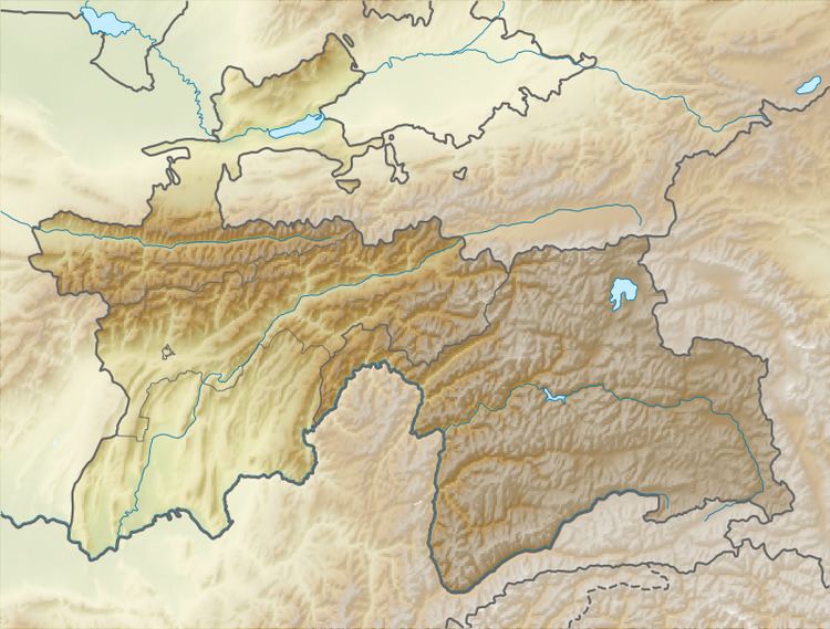
Map of Gora Kurumdy, Tajikistan
Location
Kurumdy is located in the eastern part of the Transalai Range (Eastern Trans-Alay, Russian: Восточный Заалай) in the Pamir Mountains of Central Asia. It is 22 km east of the Kyzyl-Art Pass. On the northern side flows the East Kyzilsy Glacier with a length of 3,7 km and an area of 69,4 km². The Kurumdy Glacier with 17,2 km and 60,6 km² is located on the south side and flows to the west.
Since territorial changes 2011 it is the three state summit between Kyrgyzstan and Tajikistan and China.
Climbing history
The 1932 ascent by E. Timashev and party from south was not to the main summit. There are some errors in the list of Shataev and also the entry relates to Kurumdy West. They might have been on the south ridge of Kurumdy West at Point 6154m as stated by the historican Jozef Hala.
2001 Michael Mihajlov and Vitaliy Akimov reached the Kurumdy I summit by climbing a major north ridge and did the first ascent.
The first traverse (East-West, 15 days) was accomplished in summer 2015 by the Austrians Markus Gschwendt and Katharina Pfnaisl. This was the second ascent of the main summit (6614 m, 5 August 2015). Further they traversed some 6000 m peaks of which at least two peaks were unclimbed at this time. For the ascent they used a very steep slope east oft the Kurumdy east summits (6384 m, Peak Kathi 6259 m). The descent was done by crossing the west summits (6554 m, 6283 m) and then following a north ridge to Golova Orla 5440 m from where they reached the Basecamp (3770 m)
Information for visitors
For the Area is a border-area-permit necessary (info from 2015)
Approach from the north, Kyrgyzstan: Airport in Osh, Taxi to Sari Tash, with Horses to the basecamp on the northern side of the East Kyzilsy Glacier at 3770 m. Water quality can be a problem. Bring a water filter system.
There is no easy line to the summit. Success depends much on snow conditions and weather.