Postcode(s) 4824 Postal code 4824 | ||
 | ||
Location 1,769 km (1,099 mi) NW of Brisbane164 km (102 mi) SE of Mount Isa58 km (36 mi) SW of Cloncurry | ||
Kuridala is a former mining township and locality in the Shire of Cloncurry, Queensland, Australia.
Contents
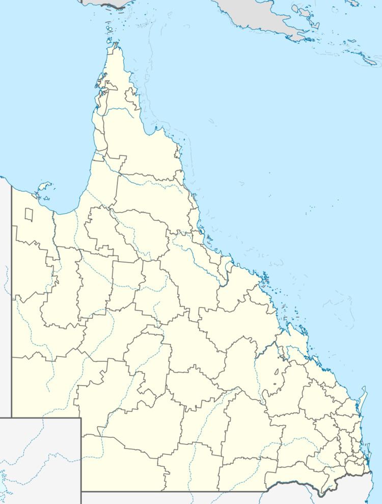
Map of Kuridala QLD 4824, Australia
History
The town was originally named Gulatten, then Hampden, then Friezland, and finally Kuridala in October 1916. Kuridala is reportedly an Aboriginal word, language and dialect not recorded, meaning eagle hawk.
Heritage listings
Kuridala has a number of heritage-listed sites, including:
References
Kuridala, Queensland Wikipedia(Text) CC BY-SA
