
Population 875,564 (2011) | ||
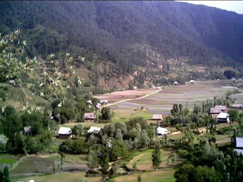 | ||
Kupwara District (Urdu; ضلع کُپواڑہ) is located in Jammu and Kashmir, India. It shares a long border with Pakistan administered Kashmir in its north and western side and is totally enclosed by Baramulla district on the other side.The district is endowed with rich dense forests. The river 'kishenganga' originating from the Himalayas flows through the outer areas of the district from east to west. Kupwara district has 3 tehsils: Handwara, Karnah and Kupwara.
Contents
Map of Kupwara
This district consists of 11 blocks: Sogam, Tangdar, Teetwal, Ramhal, Kupwara, Rajwar, Kralpora, Langate, Wavoora, Trehgam and Kalaroos. Each block consists of a number of panchayats.
Economy
Most of the people depend on agriculture and business is growing feasiblely.(BRGF).
Demographics
According to the 2011 census Kupwara district has a population of 875,564, roughly equal to the nation of Fiji or the US state of Delaware. This gives it a ranking of 470th in India (out of a total of 640). The district has a population density of 368 inhabitants per square kilometre (950/sq mi) . Its population growth rate over the decade 2001-2011 was 34.62%. Kupwara has a sex ratio of 843 females for every 1000 males, and a literacy rate of 66.92%.
Politics
Kupwara District has 5 assembly constituencies: Karnah, Kupwara, Lolab, Handwara and Langate.
Reduced Level
The district is situated at an altitude of 5300 feet above sea level and is the northmost district of Kashmir Valley.