
- elevation 0 ft (0 m) Basin area 8,107 km² | - elevation 2,900 ft (884 m) - average 1,400 cu ft/s (40 m/s) | |
 | ||
- location 8 miles (13 km) southeast of Beechey Point Borough North Slope Borough, Alaska | ||
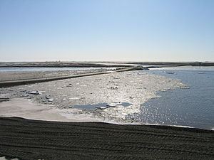
The Kuparuk River is a river in Alaska's North Slope that enters a bay on the Beaufort Sea between Beechey Point and Prudhoe Bay. The north-flowing river is about 200 miles (320 km) long, and its delta is about 3 miles (5 km) wide. Its Eskimo name appeared on a map drawn in 1901 by a prospector who spelled it Koopowra, which he translated as Big River (possibly Kugauraq).
Map of Kuparuk River, Prudhoe Bay, AK, USA
Kuparuk Mound, a 30-foot (9.1 m) pingo about 12 miles (19 km) southeast of Beechey Point, is named after the river. Arctic explorer Ernest de Koven Leffingwell named the mound, which he used as a triangulation station in 1911.
The Kuparuk River oil field, the second largest oil field in North America, is centered about 40 miles (64 km) west of Prudhoe Bay. Discovered in 1969, it covers about 500 square miles (1,300 km2).