
Country Burma Time zone MST (UTC+6.30) | Local time Sunday 7:58 AM | |
 | ||
Weather 19°C, Wind NW at 3 km/h, 71% Humidity | ||
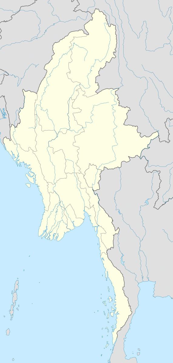
Kunlong is the capital town of Kunlong Township in Shan State. its coordination is 23 25' 00" N and 98 39' 00" E.
Contents
Map of Kunlong, Myanmar (Burma)
The Wa people inhabit the hills immediately overlooking the Nam Ting valley.
History
It is the home of Kunlong Bridge over the Salween River. There was a 42 days-long battle between Burma Communist Party (BCP) and Myanmar Army from November 1971 to January 1972 to control that strategic bridge.
References
Kunlong Wikipedia(Text) CC BY-SA