
 | ||
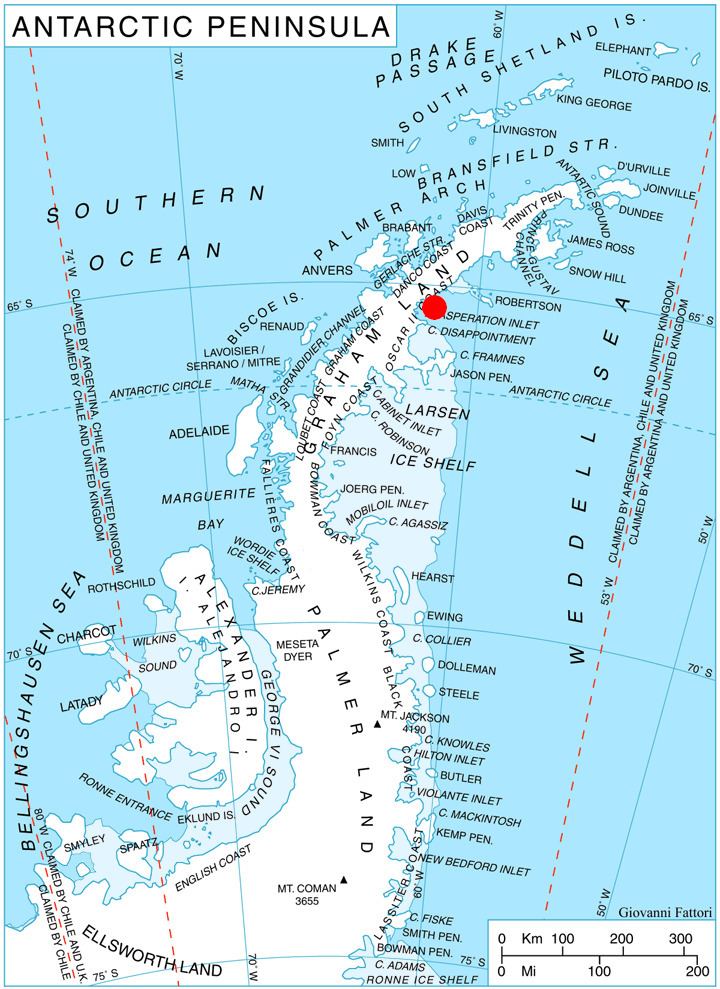
Kunino Point (Bulgarian: нос Кунино, ‘Nos Kunino’ \'nos ku-ni-'no) is a rocky point on Blagoevgrad Peninsula, Oscar II Coast, Graham Land in Antarctica, the south extremity of an eponymous ridge extending 2.4 by 2 km on the north coast of Exasperation Inlet. Formed in 2002 as a result of the disintegration of Larsen Ice Shelf in the area.
Contents
The feature is named after the settlement of Kunino in northwestern Bulgaria.
Location
Kunino Point is located at 65°14′41″S 61°47′36″W, which is 10.25 km east of Caution Point, 8.9 km west of Foyn Point and 35 km north of Cape Disappointment.
Maps
References
Kunino Point Wikipedia(Text) CC BY-SA