
Area 202.8 km² | Local time Sunday 10:07 AM | |
 | ||
Weather 6°C, Wind NW at 14 km/h, 56% Humidity | ||
Kuni (六合村, Kuni-mura) was a village located in Agatsuma District, Gunma Prefecture, Japan.
Contents
As of September 1, 2007, the village had an estimated population of 1,788 and a population density of 9.41 persons per km². The total area was 202.81 km².
On March 28, 2010, Kuni was merged into the expanded town of Nakanojō.
Geography
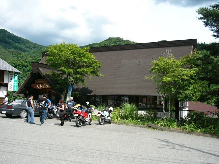
Over half of the total area is covered by forests. Located on the border of Gunma Prefecture and Nagano Prefecture is Lake Nozori. There were two major hot springs in the village: the Shiriyaki and Hanashiki Hot Springs.
Surrounding municipalities
History
Name origin
Before the creation of Kusatsu village in 1889, there were six villages, called Akaiwa, Kosame, Hikage, Ooshi, Iriyama, and Irusu. When thinking of a name in 1900, Kuni, meaning six put together (六合), was chosen since there were six villages. The pronunciation of the village's name came from the Nihon Shoki.