District Anantapur Time zone IST (UTC+5:30) Elevation 610 m | Talukas Kalyandurgam PIN 515766 Local time Sunday 6:08 AM | |
 | ||
Weather 23°C, Wind W at 10 km/h, 59% Humidity | ||
Kundurpi is a village and a mandal in Anantapur district in the state of Andhra Pradesh in India.
Contents
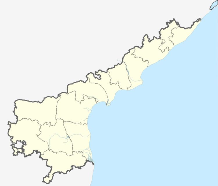
Map of Kundurpi, Andhra Pradesh 515766
Geography
Kundurpi is a geological history is a more amount of granite and hornblend,road materials available in this area,Red soil in this area
History
According to historians, Koneti RangaNaidu was the last ruler of Kundurpi. He was also ruled Rayadurg and Penukonda forts.
Demographics
According to Indian census, 2001, the demographic details of Kundurpi mandal is as follows:
Panchayats
The following is the list of village panchayats in Kundurpi mandal.jambugumpala is more forest area and geological area granite,road materials
References
Kundurpi Wikipedia(Text) CC BY-SA
