
Division Tawau Local time Sunday 8:15 AM | Population 61,094 (2010) | |
 | ||
Website www.sabah.gov.my/md.kunak www.sabah.gov.my/pd.knk Weather 26°C, Wind N at 8 km/h, 87% Humidity | ||
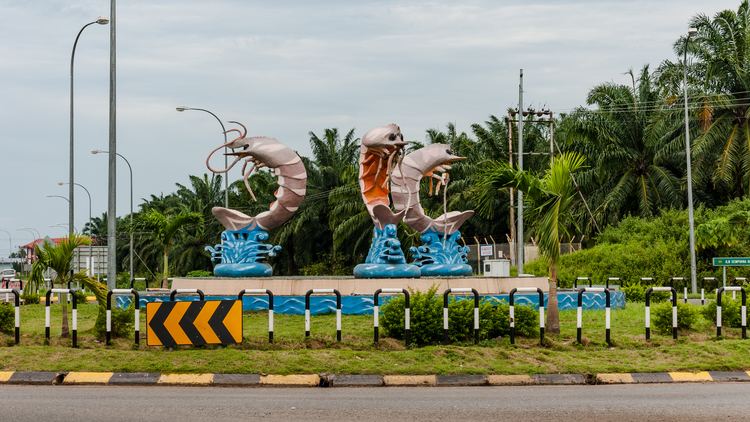
Kunak is a small town located in the Tawau Division on the east coast of the east Malaysian state of Sabah. It was formerly a sub-district administered under the Lahad Datu District Office, but was made into full district on 1 June 1981.
Map of Kunak, Sabah, Malaysia
Its population was estimated at 61,094 in 2010. The population consists mainly of Bajau and Bugis people.
There is also a sizeable Chinese minority, involved in running many of the shops in downtown Kunak as well as the planting of oil palms in the outskirts.
Kunak has three main secondary schools: SMK Kunak Jaya, SMK Kunak and SMK Madai. It is also home to a Chinese primary school, SRJK(C) Pai Sheng, and a several Malay-medium primary schools including SK Kunak 1, SK Kunak Jaya and SK Ladang Binuang.
A resettlement scheme for Cocos Islanders is situated a few kilometres away, near the Giram Oil Palm Estate (run by Sime Darby Berhad).
A jetty is situated about five km from the town, in an area named Pengkalan Kunak. A single road lined by wooden shophouses (possibly a squatter colony) leads to the jetty and wet market.
In 2002, a 76-bed government hospital was built in the town. At around the same time, a new highway linking Kunak to the town of Semporna was also opened.