
Country Albania Population 45,616 (2010) | Area 938 km² | |
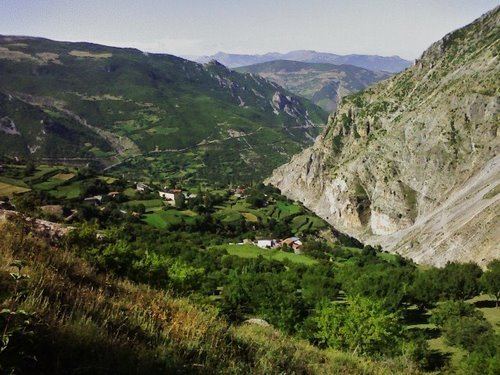 | ||
Points of interest Gjallica, Koritnik, Mali i Zepës, Ara e Vokrrit, Lama e Kepit | ||
Kukës District (Albanian: Rrethi i Kukësit) was one of the thirty-six districts of Albania (which were dissolved in 2000) that is now part of Kukës County. It had a population 45,616 (2010 estimate), and an area of 938 km². The town of Kukës was where the district's administrative headquarters were located.
Contents
Map of Kuk%C3%ABs District, Albania
Administrative divisions
The district consisted of the following municipalities:
Kukës Municipality
Note: - urban municipalities in bold
Geography
The district lies in the northeastern part of Albania and is bordered by District of Prizren in the east and northeast, by Has District in the north, by Pukë District and Mirditë District in the west and by Dibër District in the south.
References
Kukës District Wikipedia(Text) CC BY-SA