
Country State | Language spoken Oriya District | |
 | ||
Map of Kuchinda
Kuchinda is a town and a notified area council in Sambalpur district in the Indian state of Odisha. It is located about 80 kilometres from the district headquarters of Sambalpur and about 48 km away from Jharsuguda.
Contents
- Map of Kuchinda
- Kuchinda to mukteswar bolbam shiva temple jamankira
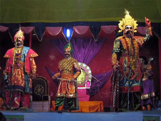
- Kuchinda gudguda lokomohostava day 1 part i
- Geography
- Demographics
- Education
- Transport
- Politics
- References
Kuchinda to mukteswar bolbam shiva temple jamankira
Kuchinda gudguda lokomohostava day 1 part i
Geography
It has an average elevation of 220 metres (721 feet). National Highway 200 passes through the city. Nearby residential areas include Saida, Ghosa, Mantrimunda, Lad, Mahuldkihi, Kira and Satkama.
Demographics
As of 2011 census, Kuchinda had a population of 15,576. Males constituted 51% of the population and females 49%. Kuchinda has an average literacy rate of 66%, higher than the national average of 59.5%: Male literacy is 71% and female literacy is 60%. 12% of the population is under 6 years of age. Purunapani is the most educated village of western Odisha, which is situated in Kuchinda block.
Education
Among its educational institutes are :
Transport
Airports: Ranchi Airport 225 km
Railway stations: BAGDIHI (Orissa, Jharsuguda, Laikera 31 km), PANPALI (Orissa, Jharsuguda, Kirmira 32 km) Rourkela (Orissa, Sundargarh 83 km)
Politics
The MLA from Kuchinda (ST) Assembly Constituency is Rabi Narayan Naik of BJP.
Kuchinda is part of Sambalpur (Lok Sabha constituency).